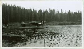
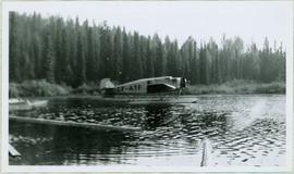
Handwritten caption above this photo reads: "Plane on Sumit Lake." Logs can be seen floating on water in foreground, as well as trees on opposite shore in background. The seaplane has the letters "CF-ATF" on its side.
Handwritten caption above this photo reads: "Plane on Sumit Lake." Logs can be seen floating on water in foreground, as well as trees on opposite shore in background. The seaplane has the letters "CF-ATF" on its side.
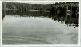
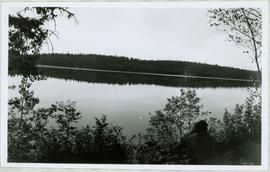
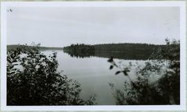
View of ripples in lake. Forest on opposite shore is reflected in water. It is believed this photograph was taken at Summit Lake, B.C.
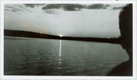
View of Summit Lake with sun at horizon reflected in water and dark clouds above. Part of a man's head is silhouetted in the foreground. Handwritten caption above this photo reads: "Sumit Lake."
Handwritten caption above this photo reads: "Sumit Lake." Photograph depicts man sitting facing lake among branches of trees in foreground, forest on opposite shore reflected in water.
Handwritten caption beside photograph reads: "Sumit Lake." Branches of trees in foreground, forest on opposite shore reflected in water.
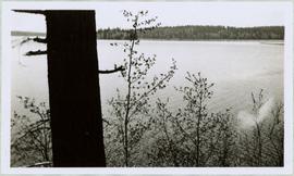
Large tree trunk and smaller saplings silhouetted against Summit Lake, forest visible on opposite shore. Handwritten caption beside this photo reads: "Sumit Lake."
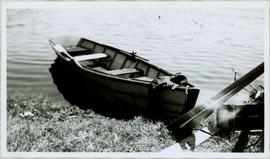
Handwritten caption beside this photo reads: "I built this boat." Photograph depicts canoe and paddles afloat in water, grassy shore in foreground. A pair of pants can be seen in boat, as well as wood planks, box, and rope on shore.
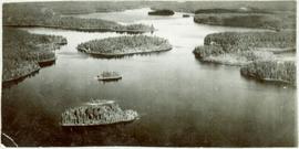
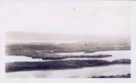
View of summit lake from above, many small tree-covered islands and peninsulas visible. Handwritten caption beside this photo reads: "Sumit Lake".
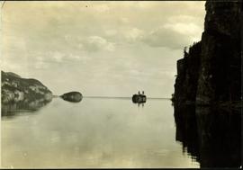
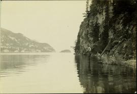
Typed annotation on recto: "Stuart Lake - British Columbia." The hills on left, cliff on right, and two small islands on horizon are reflected in the lake.
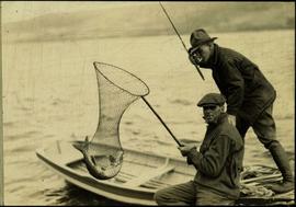
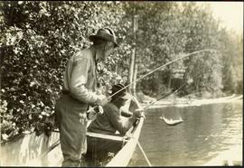
Typed annotation on recto: "Fishing action - Stuart Lake, B.C." Two men fishing in a canoe, with one fish caught in net. Hillside in background. It is speculated that the seated man with fish may be Vivian Grey.
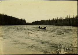
Typed annotation on recto: "Cottonwood dugout on Tachi River Stuart Lake Section of B.C." Two people sit in dugout canoe, tree-covered banks in background.
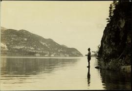
Typed annotation on recto: "Stuart Lake Scene - British Columbia." Man stands in water close to cliff which is reflected in water on right. Hills on opposite shore can be seen in background.
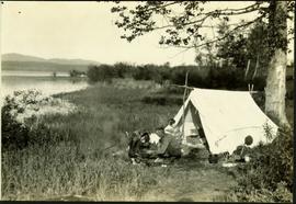
Typed annotation on recto: "Camping at Stuart Lake - B.C." Two men and one woman kneeling among miscellaneous equipment on ground in front of small tent on the lake side. Large tree and bushes behind tent, hills in distance.
Typed annotation on recto: "Stuart Lake B.C." Man standing in water close to cliff which is reflected in water on right. Hills on opposite shore can be seen in background.
Typed annotation on recto: "Rainbow Trout fishing (Fly fishing) Tachi River - Stuart Lake, B.C." Two men fishing in a canoe with rope tied to another object, and one fish caught in net. Trees on shore in background.
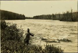
Typed annotation on recto: "Tachi River, Stuart Lake, B.C." Man in tall hat, smoking from a pipe, and standing on shore with fishing rod extended over water. Tree-covered banks in background.
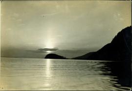
Typed annotation on recto: "Sunset at Stuart Lake, B.C." Hills on shore in midground, sun behind clouds reflected in rippled water.
Photograph album contains 86 black and white photographs depicting various aspects of life and construction in Fort Fraser in the pre World War I era.
The Fort Fraser Historical Photograph Collection consists of 1 photograph album featuring 86 black and white photographs of Fort Fraser and area during the pre World War I era.
Photograph depicts rows of palm trees shadowing the Pacific Park Motel with a mountain range in the background.
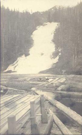
Photograph depicts piles of wood planks and log booms in the foreground with a waterfall in the background.
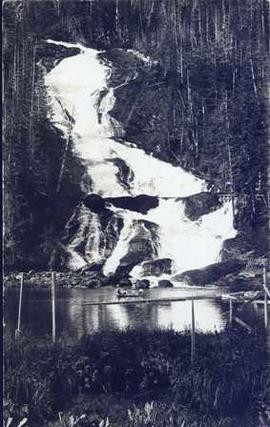
Photograph depicts four men in a boat on a lack with a waterfall in the background running through a forest into the lake. Annotation on verso of photograph states: "The water fall + flume for Brown's sawmill Hoscall River BC"
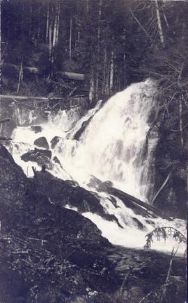
Photograph depicts a waterfall in a forested area with a riverbank in the foreground.
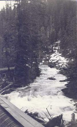
Photograph depicts a landscape shot of rushing water with a forested area in the background.
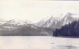
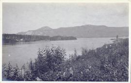
Photograph depicts a landscape shot of a body of water with mountains in background and forested shore in midground.
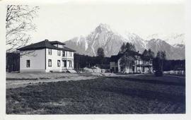
Photograph depicts two houses with snow-covered mountains in the background and a grassy yard in the foreground.
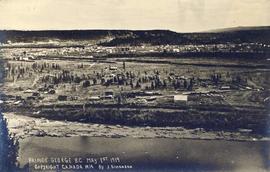
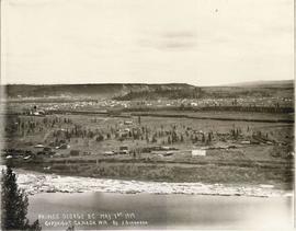
Photograph landscape shot of Prince George
Map is entitled "Latest Map of Fort George District" and published 1912. Includes Peace River Recording Land District, Fort George Land Recording District, and Cariboo Land Recording District. Several sections are marked with red pencil.
Consists of 1 plan entitled "Plan of Subdivision of S.W. 1/4, D.L. 4041 : Cariboo District," surveyed and signed by P.A. Landry, of South Fort George.
Consists of legal records and documents related to the holdings and activities of J. B. Henderson-Roe and his father, C.H. Henderson-Roe, including a hand-drawn map of Prince George, Fort George, and South Fort George, as well as a surveyor's plan for a subdivision.
Item consists of transcript and taped summary of recorded interview with long-time resident Ted Williams who discusses his father' Chuck Williams early years in Prince George c.1920s. He also discusses river transportation, steam boats on the Fraser River and river scowing adventures on the Grand Canyon (BC) and fatalities that occurred.
Harkins, BobConsists of 9 legal-size copies of documents related to the surveying and preemption of land at Port Essington by Robert Cunningham.
Consists of 3 legal-size copies of drawings of and a surveyor's report on Lot 7392. Includes drawings of lot, and a note reading : "This is a foreshore Lot in front of Part of Lot 45, Village of Port Essington"
Consists of 2 overlapping legal-size copies depicting the plans for Lot 7392 in Port Essington.
Plan of Port Essington consists of an architectural plan for the townsite of Port Essington compiled from plans in Land Registry and described as Composite Plan 537 (originally deposited October 17th 1893). Depicts Skeena River, Hocsal River, individual lots and streets, the B.C. Fishing and Packing Co. Ltd., a graveyard, and the Anglo British Columbia Packing Co.
"Port Essington: A Town Remembered" consists of copies of 4 black & white photographs of Port Essington, taken in October 1984 by Nancy Robertson, and published on page 13 of the 15 November 1984 edition of The Daily News, Prince Rupert's newspaper. The page caption reads as follows : "Port Essington : a town remembered - These photos are from an aging Port Essington taken in the fall month of October by photographer Nancy Robertson. Once a thriving community, Port Essington stands derelict at a Skeena estuary with only occasional visitors."
Consists of copies of lot plans, a blueprint of the townsite of Port Essington, and an article on Port Essington from the 15 November 1984 edition of the Prince Rupert Daily News.
Photograph depicts Judge William Dow Ferry looking over mountainous terrain (possibly Wakefield Park).
File consists of material relating to the Yukon Telegraph. Materials include newspaper clippings, correspondence, a magazine, pamphlets, a newspaper, and reproductions of articles. Highlights include:
- Beautiful British Columbia Magazine, Vol. 32 No. 2 , 1990
- Ministry of Lands, Parks, and Housing, "Provincial Parks of British Columbia Map", 1980 (pamphlet)
- Telegraph Trail Preservation Society, "Telegraph trail Hiking & Recreational Guide", [198-?] (pamphlet)
- BC Provincial Archives, "Atlin- Quesnel Telegraph Line", [191-?] (photograph reproduction)
- BC Provincial Archives, "Pack Train Atlin Quesnel Telegraph Line", [191-?] (photograph reproduction)
- BC Provincial Archives, "Cooking at Teamsters Camp Atlin Quesnel Telegraph Line", [191-?] (photograph reproduction)
- Original photographic slides from 1981 depicting Sinkut Lake Ranch and Nulki Lake Resort south of Vanderhoof
File consists of material relating to the Stikine River, predominantly consisting of newspaper clippings. Includes a photocopied 1976 annotated bibliography by Thomas Buri entitled "Of the Stikine River Country and its People".
File consists of research material relating to the Omineca Gold Rush which was a gold rush in British Columbia in the Omineca region of the Northern Interior of the province. Gold was first discovered there in 1861, but the rush didn't begin until late in 1869 with the discovery at Vital Creek. There were several routes to the goldfields: two were from Fort St. James, one of which was a water route through the Stuart and Tachie Rivers to Trembleur Lake to Takla Lake and the other was overland, called the Baldy Mountain route. A third route came in overland from Hazelton on the Skeena River and a fourth route used the Fraser River and crossed over the Giscome Portage to Summit Lake, through McLeod Lake, and up the Finlay River to the Omineca River. Materials include one large photograph from the BC Provincial Archives of Machanry of the SS Enterprise at Tremblay Lake in June 7th, 1913. Other materials include newspaper clippings and two photographic negatives of the machinery of the SS Enterprise.
The map is taken from the supplement of the Omineca Express/Bugle Caledonia Courier newspaper. The area map depicts highways, secondary roads, lakes, and gravel roads near Fort St. James, Stuart Lake, Fraser Lake, Fort Fraser, and Vanderhoof.
This map depicts where to find ghost towns, forts, First Nation villages, and sites with supposed hidden treasures in British Columbia.
This 1967 centennial map depicts Canadian achievements from 1867 to 1967. The map includes over 73 moments, events, and people that have shaped Canada in the last one hundred years.
The map is part of an advertising pamphlet that depicts the Yellowhead Highway 16. The map highlights towns and tourist attractions along Highway 16 like Hazelton, Kitimat, Vanderhoof, Fraser Lake, Burns Lake, Fort St. James, Prince George, Terrace, and Smithers.
