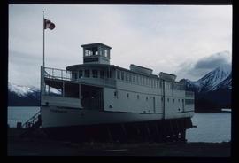
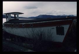
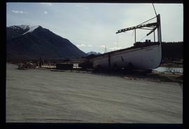
Image depicts a boat named "the Tarahne," which is located in Atlin, B.C. Atlin Lake and Mountain are visible in the background.
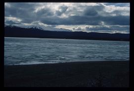
Image depicts an old boat on the shore of Atlin Lake.
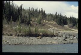
Image depicts a small section of the Alaska Highway somewhere near Whitehorse, Y.T. The slide also appears to be labelled "army washing" for unknown reasons.
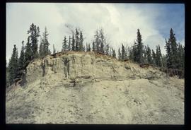
Image depicts what appears to be an eroding rock face. The slide itself is labelled "ash loger at top" for unknown reasons. Possibly located somewhere near Whitehorse, Y.T.
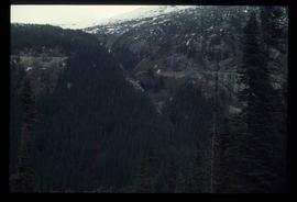
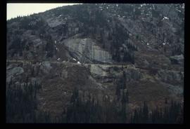
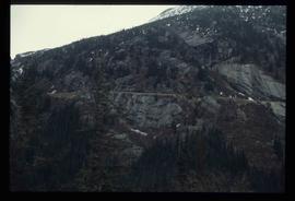
Image depicts a forested mountain side somewhere along the White Pass railway. The thin ridge along the mountain side is possibly either a highway or part of the railway.
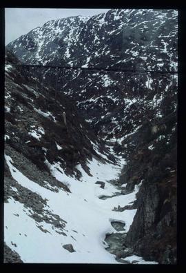
Image depicts a mountain side somewhere along the White Pass railway. The thin ridge along the mountain side is possibly either a highway or part of the railway.
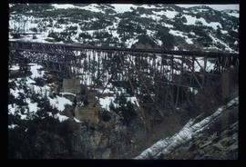
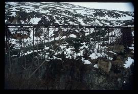
Image depicts an old trestle along the White Pass railway.
Image depicts the Tsilcoh Falls, north of Fort St. James and somewhere near Pinchi Lake Road.
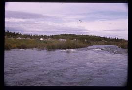
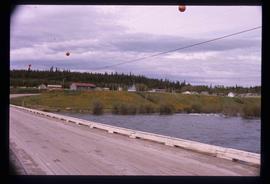
Image depicts Nautley and the Nautley River near Fraser Lake, B.C.
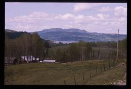
Image depicts a section of land on the east end of Francois Lake. The lake is visible in the distance.
Image depicts Kenny Dam, south of Francois Lake, and southwest of Vanderhoof, B.C.
Image depicts McLeod lake.
Image depicts Nautley and the Nautley River near Fraser Lake, B.C.
Image depicts a stretch of land; the photo was taken from the top of Kenny Dam, south of Francois Lake.
File contains slides depicting places in the area around Williams Lake, Clinton, and the Fraser Canyon.
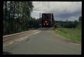
Image depicts a train on the Hansard Bridge across the Fraser River looking west. Map coordinates 54°04'37.7"N 121°50'39.9"W
Image depicts the small town of Fraser, B.C. Located on the Klondike Highway.
Image depicts half of a ship, which is named the Tutshi, in Carcross, Y.T.
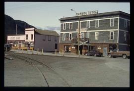
Image depicts the Caribou Hotel and the Matthew Watson General Store in Carcross, Y.T.
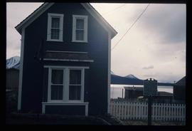
Image depicts a building which once served as the residence for two nurses in Atlin, B.C. A sign in front of the house reads: "Grateful Atlinites built this house in 1902 for their first missionary nurses, Helen Bone and Elizabeth Mitchell, who came here in 1899 and lived in a crude shack while valiantly and humanely caring for sick and dying pioneers."
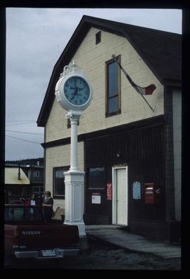
Image depicts the post office in Atlin, B.C.
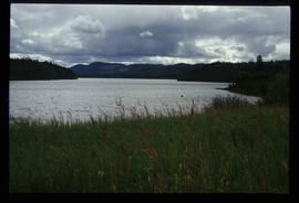
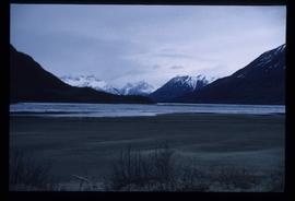
Image depicts a lake somewhere along what is possibly the Atlin Road to Atlin, B.C.
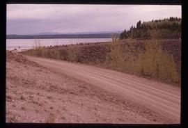
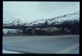
Image depicts what is possibly Atlin Road. Numerous mountains are visible in the distance.
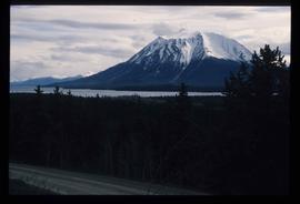
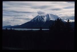
Image depicts a mountain, possibly Atlin Mountain.
Image depicts a mountain, possibly Atlin Mountain.
Image depicts Bennett Lake near Carcross, Y.T.
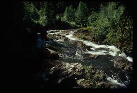
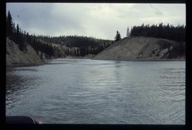
Image depicts a river at an uncertain location, but possibly in Miles Canyon near Whitehorse, Y.T.
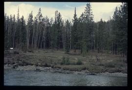
Image depicts numerous trees on the bank of a river, possibly in Miles Canyon near Whitehorse, Y.T. The slide is labelled "canyon city."
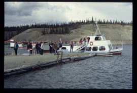
Image depicts numerous unidentified individuals getting off a boat which bears the name "Schwatka." It is located somewhere in Miles Canyon.
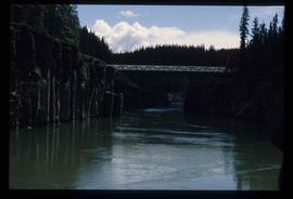
Image depicts the Robert Lowe Bridge, built in 1922, in the Miles Canyon near Whitehorse Y.T.
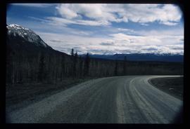
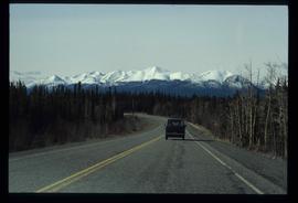
Image depicts a van on a highway with mountains in the distance; the location is uncertain, though it is possibly along the Alaska Highway.
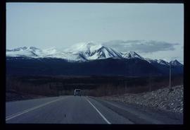
Image depicts a van on a highway with mountains in the distance; the location is uncertain, though it is possibly along the Alaska Highway.
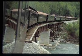
Image depicts the White Pass Train crossing over a railway bridge at an uncertain location.
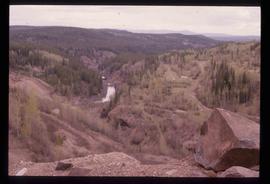
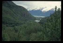
Image depicts a view over a forested, mountainous area and a river somewhere in the area of Skagway, Alaska.
Image depicts a mountain side somewhere along the White Pass railway. The thin ridge along the mountain side is possibly either a highway or part of the railway.
Image depicts an old trestle along the White Pass railway.
Image depicts an old trestle along the White Pass railway.
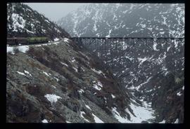
Image depicts an old trestle along the White Pass railway, and the White pass Train on the left of the image.
This map depicts the City of Prince George's plan for soil removal and deposit.
File consists of notes and reproductions relating to Brett & Hall landscape architecture and urban planning in Canada. File predominantly consists of photocopies of articles relating to urban planning, including "The Influence of Thomas Adams and the British New Towns Movement in the Planning of Canadian Resource Communities" by Oiva Saarinen; "Thomas Adams and the Commission of Conservation" by Alan H. Armstrong; "The Laying Out of Towns" by W.H. Dorsey; "The Relation of the City Engineer to Public Parks" by John C. Olmsted; "The Planning of Company Communities in the Lake Superior Mining Region" by Arnold R. Alanen; and "Planning the Canadian Environment" by L.O. Gertler.
File consists of notes, clippings, and reproductions relating to the Millar Addition subdivision in Prince George.
This map is part of Schedule B of the 1993 Official Community Plan, Bylaw No. 5909 for the City of Prince George. This particular map reflects the 1998 amendment to the Official Community Plan.
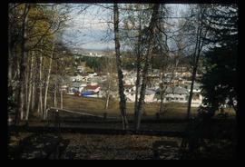
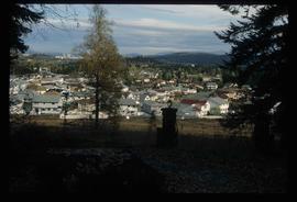
Image depicts a Prince George residential area from the viewpoint of the Ginter Property.
Image depicts a Prince George residential area from the viewpoint of the Ginter Property.
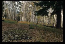
Image depicts the Ginter Property in Prince George, B.C.
File consists of material relating to the Yukon Telegraph. Materials include newspaper clippings, correspondence, a magazine, pamphlets, a newspaper, and reproductions of articles. Highlights include:
- Beautiful British Columbia Magazine, Vol. 32 No. 2 , 1990
- Ministry of Lands, Parks, and Housing, "Provincial Parks of British Columbia Map", 1980 (pamphlet)
- Telegraph Trail Preservation Society, "Telegraph trail Hiking & Recreational Guide", [198-?] (pamphlet)
- BC Provincial Archives, "Atlin- Quesnel Telegraph Line", [191-?] (photograph reproduction)
- BC Provincial Archives, "Pack Train Atlin Quesnel Telegraph Line", [191-?] (photograph reproduction)
- BC Provincial Archives, "Cooking at Teamsters Camp Atlin Quesnel Telegraph Line", [191-?] (photograph reproduction)
- Original photographic slides from 1981 depicting Sinkut Lake Ranch and Nulki Lake Resort south of Vanderhoof
File consists of notes and reproductions for use by Kent Sedgwick for lectures. Includes: "Annual Meeting Western Division Canadian Association of Geographers" conference program and abstracts (7-8 Mar. 1997).
File contains slides depicting Sechelt, B.C.
File consists of notes and reproductions relating to maps and creating maps of Prince George. File predominantly includes photocopies and reproductions of maps of Prince George and neighbourhoods in Prince George. Includes: "Planning division inventory of land use plans and sector plans" typescript document (5 Dec. 1989); "Prince George community planning council" typed letter to Kent Sedgwick attached to multiple maps depicting Prince George (11 Dec. 1996); and "Downtown revitalization committee map loan" typed document and photocopied maps lent to the Downtown Revitalization Committee from Kent Sedgwick (11 Dec. 1996).

![City of Prince George - Schedule B of the Official Community Plan, Bylaw No. 5909 [1998 Amendment]](/uploads/r/northern-bc-archives-special-collections-1/d/6/d/d6d1c4e7e37fc948b97b3caa36447b52f7d2b76b13d45e3710aefee7b13840f0/2023.5.1.33_-_1998_Official_Community_Plan_City_of_PG_JPG85_tb_142.jpg)
