Showing 1164 results
Archival description
2016.7.3.43.069
2016.7.3.43.071

2016.7.3.43.072
2016.7.3.43.073
2016.7.3.43.074
2016.7.3.43.081

2016.7.3.43.084
2016.7.3.43.090
2016.7.3.43.125
2016.7.3.43.126
2016.7.3.43.130

Sarah in the Enhanced Forestry Lab
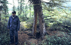
Split tree upslope from thaw slump, Stuart R (Mayo)
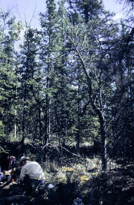
Subarctic forest & frost hummocks, Eagle Plains - 01
Subarctic forest & frost hummocks, Eagle Plains - 04
Terrace remnant, Ogilvie R - 02
Thermokarst, Dempster Hwy km 97 - 04
Thermokarst, Dempster Hwy km 97 - 11
Thermokarst, Dempster Hwy km 97 - 13
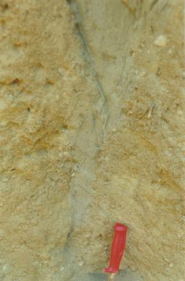
Thixotropic active layer (km 78, Dempster Hwy) - (1)
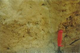
Thixotropic active layer (km 78, Dempster Hwy) - (2)
Toad R fan
Tombstone Mt lookout, Dempster Hwy - 03
Top of World Hwy - 04
Top of World Hwy - 05
Top of World Hwy - 17
Wernecke Mts from Ogilvie Ridge
Y02-01 (Burma Rd Solonetz) - 02
Y02-02 (Montague Roadhouse) - lichen crust - 02
Y02-02 (Montague Roadhouse) - site view - 01
Y02-02 Grassland soil with WR ash
Y02-03 Forest site with WR ash
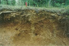
Y02-05 (Flat Creek) - 02
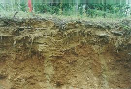
Y02-05 (Flat Creek) - 04
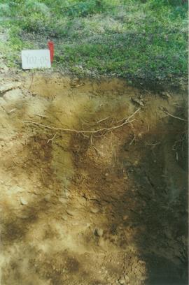
Y02-05 (Flat Creek) - 08
Y02-07 (Clear Ck) - 01
Y02-07 (Clear Ck) - 02
Y02-07 (Clear Ck) - 04
Y02-07 (Clear Ck) - 10
Y02-08 (McQuesten airstrip - Stuart R bank gravels) - 02
Y02-08 (McQuesten airstrip - Stuart R bank gravels) - 05
Y02-08 (McQuesten airstrip - Stuart R bank gravels) - 06
Y02-08 (McQuesten airstrip - Stuart R bank gravels) - 09
Y02-09 (km 6 - Klondike Hwy) - 02
Y02-09 (km 6 - Klondike Hwy) - 13
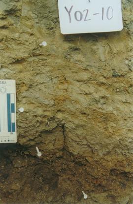
Y02-10 (E 15 Mile Gleysol - upper paleosol) - 09

Y02-10 (E 15 Mile Gleysol - upper paleosol) - 12
Y02-10 (E 15 Mile Gleysol - upper paleosol) - 14
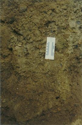
Y02-11 (E 15 Mile Fera Gleysol - middle paleosol) - 01
Y02-11 (E 15 Mile Fera Gleysol - middle paleosol) - 02