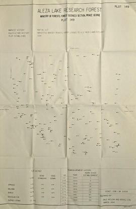
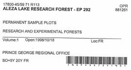
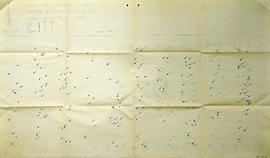
2007.1.30.3.3
·
Item
·
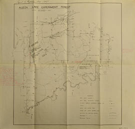
1957
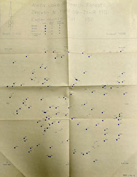
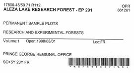
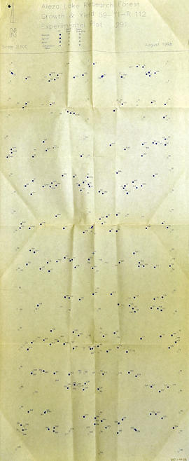
Part of Aleza Lake Research Forest fonds