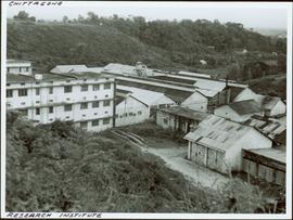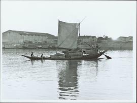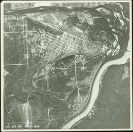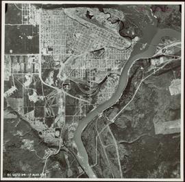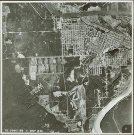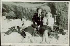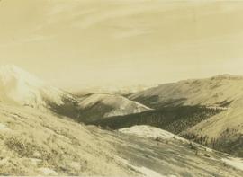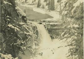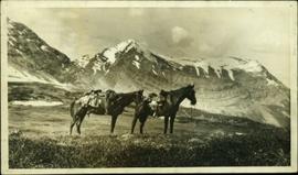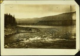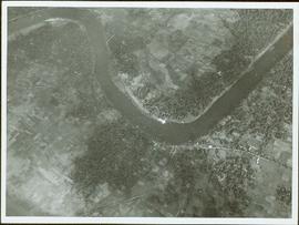
2000.13.1.152
·
Item
·
1973.
Part of Ray Williston fonds
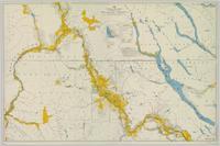
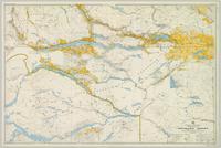
Item is a photograph of a river bend and the surrounding country taken from the air.