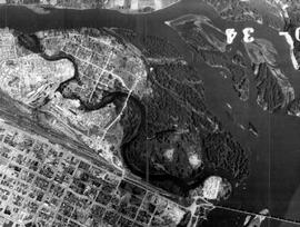
File consists of photocopied maps of Island Cache (Cottonwood Island) and Prince George.
Photograph depicts lane in front of tent buildings flooded with water, and a man standing near doorway to first building. It is believed that this photograph may depict the Island Cache in flood, at Prince George, BC.
Cane floats in flooded area of camp, tent buildings and forest trees in background. It is believed that this photograph may depict the Island Cache in flood, at Prince George, BC.
Photograph depicts lane in front of tent buildings flooded with water, forest trees in background. Photograph taken from canoe, portion of canoe visible in foreground. It is believed that this photograph may depict the Island Cache in flood, at Prince George, BC.
Photograph depicts lane in front of tent buildings flooded with water. Tree in midground, forest trees in background. A man can be seen between first and second row of tent buildings. Photograph taken from canoe, portion of canoe visible in right foreground. It is believed that this photograph may depict the Island Cache in flood, at Prince George, BC.
File consists of photocopies of 1960s records from the City of Prince George related to Island Cache that were organized by researchers involved with the Island Cache Recovery Project. Includes an Urban Renewal Report and municipal memoranda.