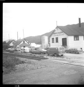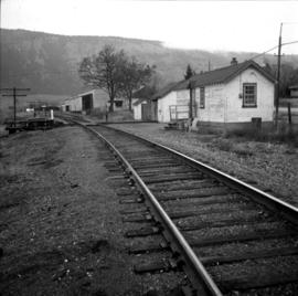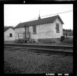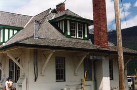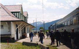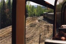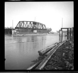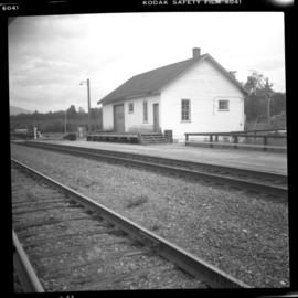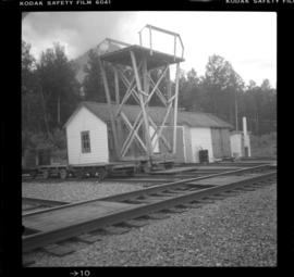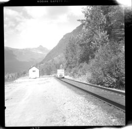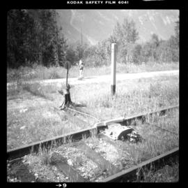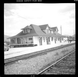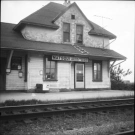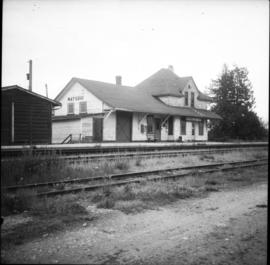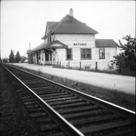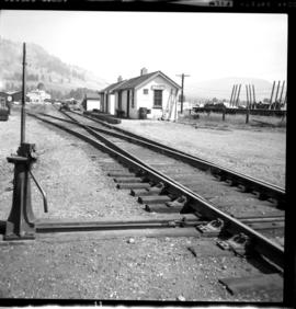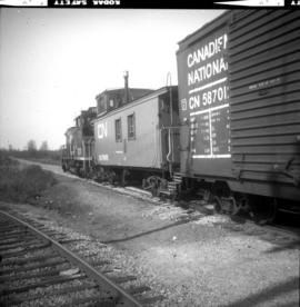
2013.6.36.1.039.02
·
Item
·
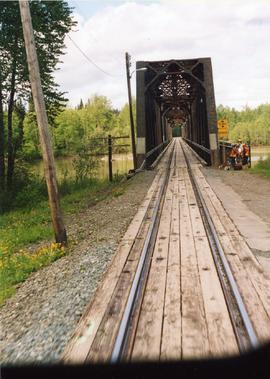
1966
Part of David Davies Railway Collection
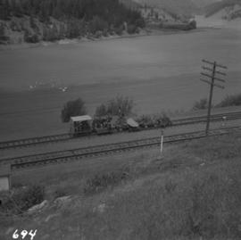
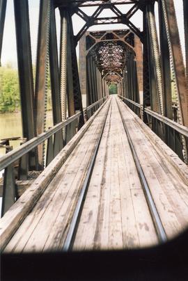
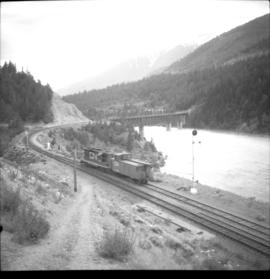
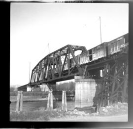
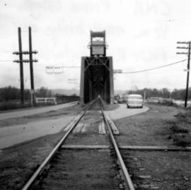
Photograph depicts a rail bridge over the Fraser River. Canter levelled on both sides were vehicle roadways which ceased to be used in 1987 when a new road bridge was supposed to be completed. The right lane took cars into the city of Prince George.