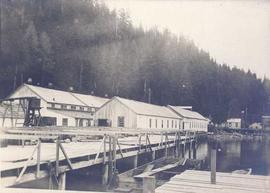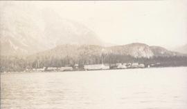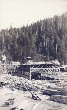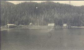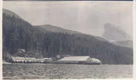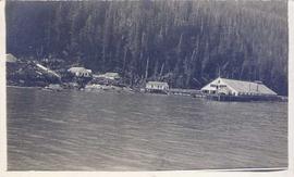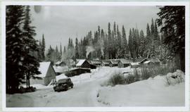
2011.3.1.04
·
Item
·
[ca. 1905]
Part of North Coast & Central BC Postcard Collection
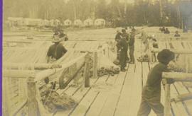
Close view of dock full of rows of nets and a few workers. Rows of bunkhouses on shore in background. Handwritten annotation in pencil on recto reads: “Port Essington B. C.”