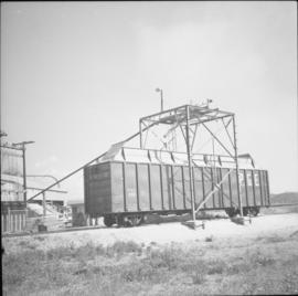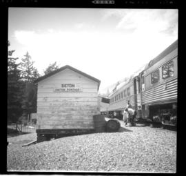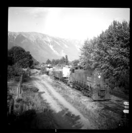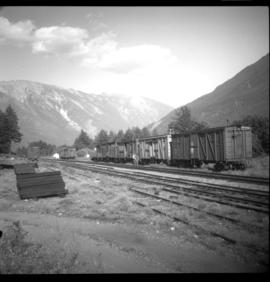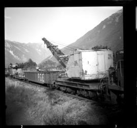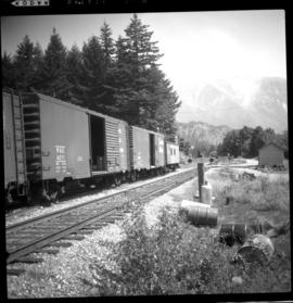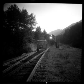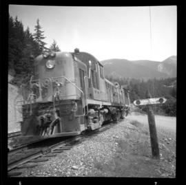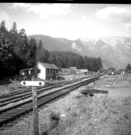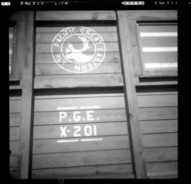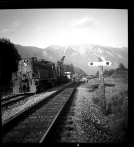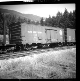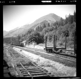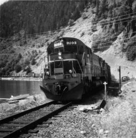
2013.6.36.1.045.58
·
Item
·
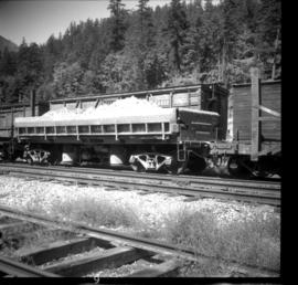
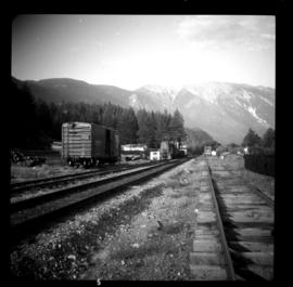
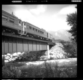
[21 May 1972]
Part of David Davies Railway Collection
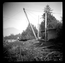
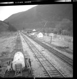
Photograph depicts gondola cars sitting on a turning Y, unloaded, and covered with plastic. They were awaiting switching to an ore mine loading loop about 5 miles up the line.