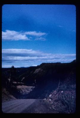
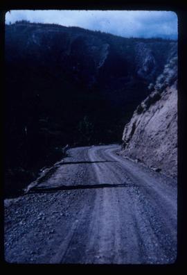
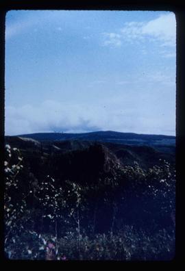
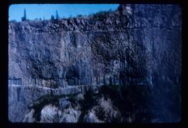
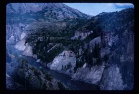
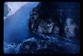
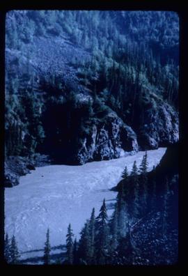
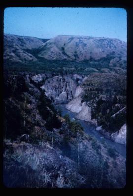
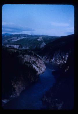
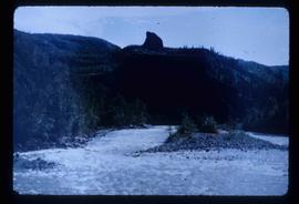
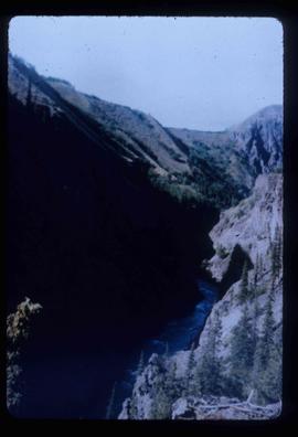
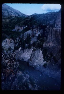
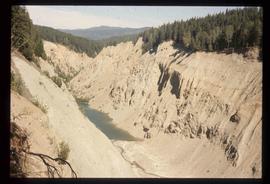
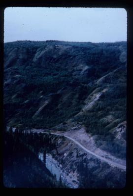
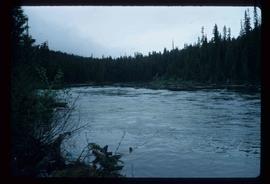
Image depicts a section of Isaac Lake which is apparently known as the "chute."
Image depicts the Caribou Hotel and the Matthew Watson General Store in Carcross, Y.T.
Photograph depicts a view of "The Captain" mountain near Lillooet, BC.
Photograph depicts one man kneeling the other sitting on the forest floor. The first man is giving the second man a shave.
Image depicts the Bullion Pit in Likely, B.C. It is a man-made canyon from the days of the gold-rush, formed by the use of hydraulic monitors. The gold-mine operated from 1892 to 1942.
Hand coloured lofty view of the Prince Rupert waterfront. Printed annotation on recto reads: "The Beginning of Prince Rupert, B.C. : Grand Trunk Pacific Hotel in foreground." Artist's stamp in lower left corner reads: "104,036 J.V."
Stern wheeler passing through rapids. Printed annotation on recto reads: “The B.C. Express passing through the Grand Canyon B.C.” Handwritten annotation in red ink on recto adds: “1913”
Photograph depicts a small cluster of buildings near the river bank.
Image depicts a vehicle on a gravel road somewhere near Tête Jaune Cache, B.C.
Image depicts a forest service cabin somewhere near Tête Jaune Cache, B.C.
Image depicts a collapsing shack somewhere near Tête Jaune Cache, B.C.
Handwritten photo album caption below this photo reads: "Teslin Lake and River, at 11 000 feet." Photograph depicts winding river below, mountain range in background.
Royal Canadian Air ForceImage depicts the Terzaghi Dam on the Bridge River, looking from the upstream (reservoir) side located near Bralorne, B.C. The water is Carpenter Lake.
Image depicts the Terzaghi Dam viewed from the downstream side near Bralorne B.C.
Map depicts the topography around the township of Terrace, British Columbia. The Skeena River is noted, as well as the Coast Mountains and the Kitimat Ranges.
Image depicts a rail road bridge located somewhere near Terrace, B.C.
Image depicts a view of Terrace, B.C.
Image depicts several orange and blue tents, possibly somewhere near Riske Creek, B.C.
Gathering of tents in Vickersville with the harbour and mountains in the distance. Annotation on recto reads: "Vickersville Prince Rupert o/n[?] 1908."
Image depicts a view of a lake that is near Telkwa, B.C. The slide is labelled as "Telkwa - McClure Lake," though it is possibly Tyhee Lake.
Image depicts two bridges in Telkwa, B.C. One is for trains.
Image depicts the Telkwa river in Telkwa, B.C.
Image depicts the old telegraph station in Stewart, B.C.
Image depicts a field along Telegraph Road, south-west of Vanderhoof, B.C.
Image depicts Telegraph Road, south-west of Vanderhoof, B.C.
Image depicts the Telegraph Creek Road, as well as the Creek itself.
Image depicts Telegraph Creek Road.
Image depicts the Telegraph Creek.
Image depicts a cliff face near Telegraph Creek.
Image depicts a bridge over Telegraph Creek.
Image depicts the Telegraph Creek.
Image depicts what appears to be a teepee at an uncertain location.
Image depicts a man, possibly Ted Faulkner, looking at a creek.
Colour-coded geological topographic map. Geological Survey produced for the Bureau of Economic Geology, Department of Mines, Bureau of Economic Geology, Canada. Includes detailed topographic cross section.
Snow on either side of highway stands at extreme height.
Image depicts a tall pine tree somewhere on Haida Gwaii.