Image depicts a saw and numerous wooden boards at an uncertain location.
No annotation provided on slide.
Annotation on slide: "Summit Lake, Light Abrasion".
Annotation on slide: "BC[?] advance regen. releasing in logged cedar block, ICHwk3"
No annotation on slide.
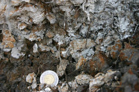
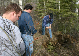
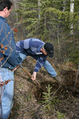
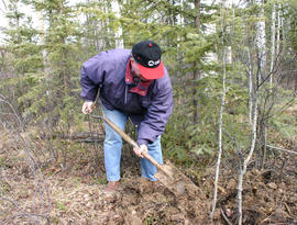
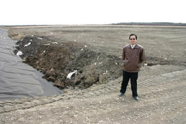
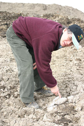
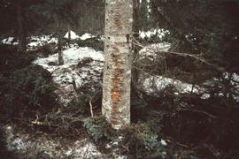
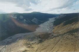
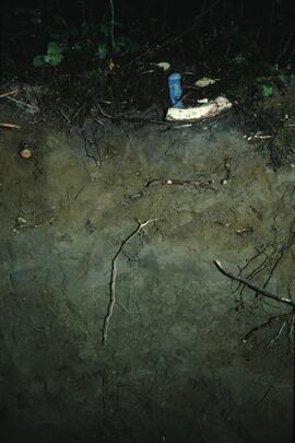
During the 1980s, Agriculture Canada pedologists Scott Smith (retired from Summerland Research Station, formerly based in Whitehorse) and Charles Tarnocai (retired from Central Experimental Farm, Ottawa) had a large field program which addressed the trends in soil development in the central Yukon. Across this region, particularly between Whitehorse and Dawson City, the land surfaces and surficial deposits vary greatly in age due to the differing extents of glaciations over the past ~2 million years.
This work built on a pioneering study from the previous decade:
Foscolos, A.E., N.W. Rutter, and O.L. Hughes. 1977. The use of pedological studies in interpreting the Quaternary history of central Yukon Territory. Bulletin 271. Geological Survey of Canada, Ottawa. 48 p. https://doi.org/10.4095/103066
Tarnocai and Smith presented their results in two publications:
C. A. S. Smith, C. Tarnocai, and O. L. Hughes. 1986. Pedological investigations of Pleistocene glacial drift surfaces in the central Yukon. Géographie physique et Quaternaire, 40 (1): 29–37. https://doi.org/10.7202/032620ar
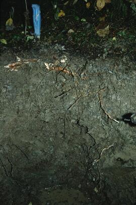
Tarnocai, C. and C. A. S. Smith. 1989. Micromorphology and development of some central Yukon paleosols, Canada. Geoderma 45 (2): 145-162. https://doi.org/10.1016/0016-7061(89)90047-5
Tarnocai and Smith shared the unpublished data and soil samples from this work with Dr. Paul Sanborn, and this resulted in a student project published as:
Daviel, E., P. Sanborn, C. Tarnocai, and C.A.A. Smith. 2011.Clay mineralogy and chemical properties of argillic horizons in central Yukon paleosols. Canadian Journal of Soil Science 91: 83-93. https://doi.org/10.4141/cjss10067
Map is a photocopy reproduction of the "Aleza Lake Experiment Forest" map that was included in the appendix to the 1957 Aleza working plan.
Map is a photocopy reproduction of the Aleza Lake Experiment Forest map that was included in the appendix to the 1957 Aleza working plan.
Map is a photocopy reproduction of the Aleza Lake Experiment Forest development map that was included in the appendix to the 1957 Aleza working plan.
Map reproduction depicts major areas of the Aleza Lake Experiment Forest.
Map is a photocopy reproduction of the Aleza Lake Experiment Forest permanent plot map that was included in the appendix to the 1957 Aleza working plan.
Map is a photocopy reproduction of the Aleza Lake Experiment Forest working circle timber sale map that was included in the appendix to the 1957 Aleza working plan.
File consists of:
- "A Summary of Historical Orders-in-Council affecting the Aleza Lake Forest Reserve", Mike Jull, 18 Dec. 1996
- Photocopied memorandum from F.S. McKinnon regarding "Transfer of Aleza Lake to D.F. Prince George", 9 Sept. 1963
- Photocopied 1928 article by P.M. Barr from Forestry Chronicle 4(3) entitled "The Aleza Lake Experiment Station: Its Development and Purpose"
- "A Brief History of the Aleza Lake Experiment Station", [Tim Decie, 1981?]
- Contact information for living relatives of Percy Barr, as of 1990
- Photocopy of 1930 article by Percy Barr entitled "Spruce Reproduction in British Columbia"
- Photocopy of records from BC Archives from a visit by Harry Coates from the file GR 1348 "The Young Mens Forestry Training Program"
- Photocopy of excerpt regarding "Amanita Lake/Diameter Limit Logging"
- Various small-scale maps and charts regarding Aleza Lake
- "Aleza Lake Research Forest Information Session Notes with Mike Jull, Manager of ALRF"
Slide depicts the original wooden BC Forest Service sign for the Aleza Lake Forest Experiment Station.
Map is a mylar reproduction of an Aleza Lake Forest Reserve map.
Item is a small-scale reproduction of a BC Forest Service Aleza Lake Research Forest map.
Map is an uncontrolled mosaic of aerial photography of the Aleza Lake Research Forest, with a July 1955 date of the air photography. Duplicate exists.
Map is an uncontrolled mosaic of aerial photography of the Aleza Lake Research Forest, with a July 1990 date of the air photography.
Map reproduction of the Aleza Lake Research Forest depicts timber sale areas, forest cover, and other details.
Map depicts historical timber sales areas and permanent sample plots (PSPs) at the Aleza Lake Research Forest. This map may be a guide (or otherwise related) to maps 2006.18.5.43-59.
Mylar map depicts the area encompassed by the Aleza Lake Research Forest.
Mylar map is a plot map of a research plot at the Aleza Lake Research Forest. Provides date the plot was established, the harvest history, the silviculture history, remeasurement history, and information about individual trees.
Item is a hand-drawn map of a plot in the Aleza Lake Research Forest. Individual trees are marked and numbered.