2007.1.25
·
Séries
·
1913-1998
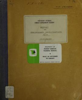
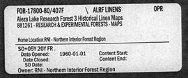
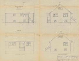
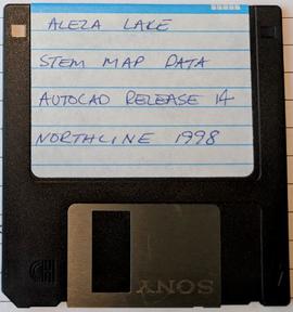
Parte de Aleza Lake Research Forest fonds
Series contains historical information regarding the Aleza Lake Research Forest. Includes photographs and slides pertaining to the Aleza Lake Experiment Station.