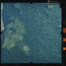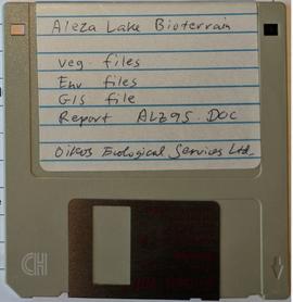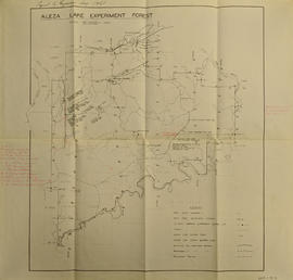
2007.1.20.7.88
·
Item
·
14 Aug. 1994
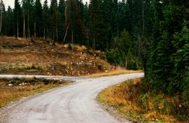
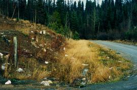
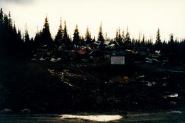
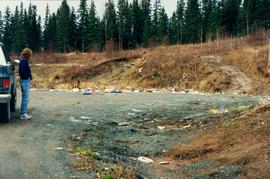
Part of Aleza Lake Research Forest fonds
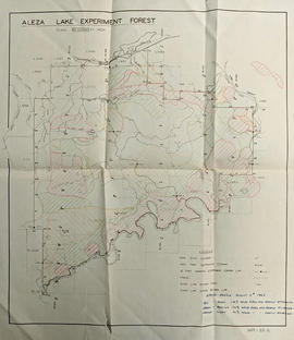
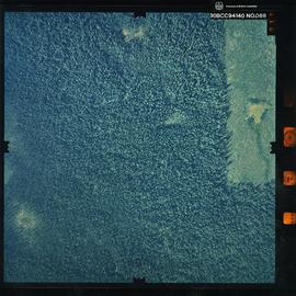
Photograph is a remote-sensing image of the Aleza Lake Research Forest from 1994.