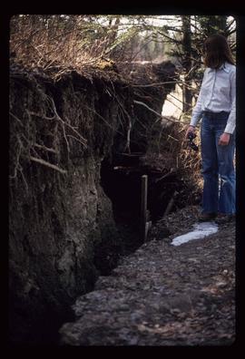
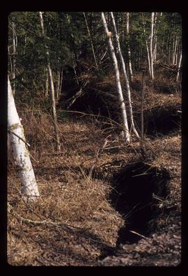
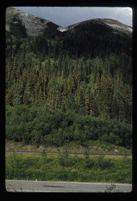
Image depicts a farm at an uncertain location.
Image depicts a farm at an uncertain location; possibly somewhere in the McGregor Valley.
Image depicts a farm at an unknown location.
Image depicts an unknown individual standing next to what appears to be a fault at an unknown location.
Image depicts what appears to be a fault at an unknown location.
Image depicts a large number of felled trees, and an unknown individual standing on the path.
Image depicts a fence, perhaps somewhere in the Chilcotin region.
Image depicts a fence in the Blackwater River area in the Chilcotin.
Image depicts a fence somewhere in Anahim Lake, B.C.
Image depicts a fence and power lines near the shore on Haida Gwaii. It is possibly a small community such as Masset.
Image depicts two unidentified individuals standing outside a small, enclosed area somewhere in a forest. The location is uncertain.
Image depicts a ferry entering Horseshoe Bay in the Howe Sound region.
Image depicts the Fraser River, likely near the Hansard railroad bridge.
File consists of notes relating to the East Line and field trips taken for research.
Image depicts numerous skiers standing near a finish line somewhere on Tabor Mountain in Prince George, B.C.
Image depicts the old Fire Hall, now a museum, in Stewart, B.C.
Image depicts a faded First Nations' rock painting.
Image depicts an unknown woman pointing towards some faded First Nations' rock paintings.
Image depicts numerous boats docked by a buildings identified as the "Prince Rupert Fishermen's Co-operative Association."
Image depicts two youths fishing from the bank of the Nechako River on Cottonwood Island.
Image depicts a few unidentified individuals fishing in a river at an uncertain location.
Image depicts two individuals fishing in a canoe on McCleary Lake. The slide is also labelled "dolly," likely meaning the fish in the net is a Dolly Varden trout.
Image depicts five unknown individuals somewhere near Mt. Robson.
Image depicts some power lines and a forest somewhere near Birken, B.C.
Image depicts numerous tree logs floating on a body of water. The location is uncertain, but is likely Eaglet Lake.
Image depicts a flooded area with an old sawdust pile in the background. Likely near McGregor, B.C.
File consists of notes, clippings, and reproductions relating to flooding in Prince George. Includes: "RE: Ice Jams in Nechako River at Prince George" typescript letter from Peter Campbell to Graham Farstad (30 May 1984) and "Floods" typed document by Kent Sedgwick (1 Feb. 1996). Also includes photographs depicting low water and flooding in Prince George (1937 and 2006).
Image depicts the Flying U Ranch at 70 Mile House, B.C.
File consists of notes and reproductions relating to Foley's Cache (later Island Cache and now Cottonwood Island Nature Park) in Prince George. Includes: "Foley's Cache" typed document by Kent Sedgwick (2 Feb. 1996). Includes photographs depicting a sign describing Foley's Cache and historical photographs of Foley's Cache.
Image depicts the foot of Indianpoint Lake.
Image depicts a camp at the foot of Isaac Lake.
Image depicts a narrow footbridge suspended over a river at an uncertain location.
Image depicts what appears to be a footbridge at an uncertain location.
Image depicts an esker at the Foothills Boulevard in Prince George, B.C.
Image depicts a few unknown individuals walking through the forest at Cheslatta.
Image depicts a forest, possibly somewhere near Woodpecker, B.C.
Image depicts a forest somewhere on Haida Gwaii.
Image depicts a view of the forest in the Fort George Canyon Provincial Park, B.C.
Image depicts a view of a forest and river somewhere along the White Pass railway. The thin line in the mountain side is possibly a highway.
Image depicts a group of trees in the Cottonwood Park, with a sign which reads: "This is the primary plantation for the 'Forest for the World' project. These trees were planted on August 5, 1985, commemorating Prince George's 70th birthday by the citizens of Prince George & Expo 86'."
Image depicts a forested area located somewhere near the Tseax Lava Flow.
Image depicts a forested mountain side somewhere near Murray Ridge.
Image depicts a trail through the forest somewhere on Haida Gwaii.
Image depicts a trail through the forest somewhere in or near Seton Portage, B.C.