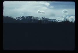
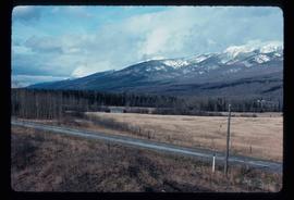
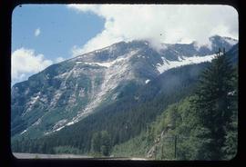
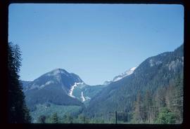
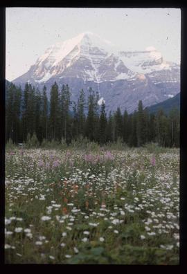
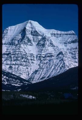
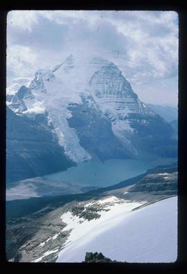
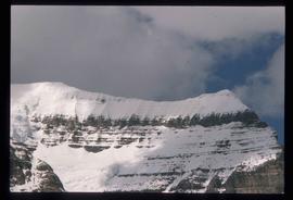
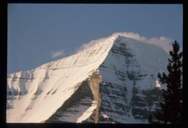
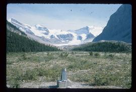
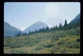
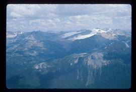
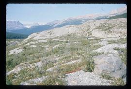
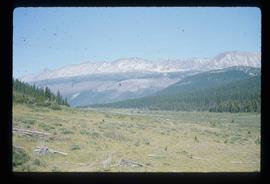
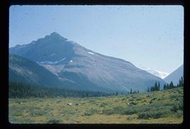
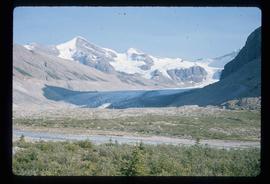
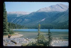
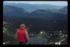
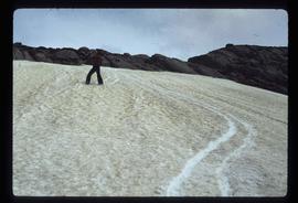
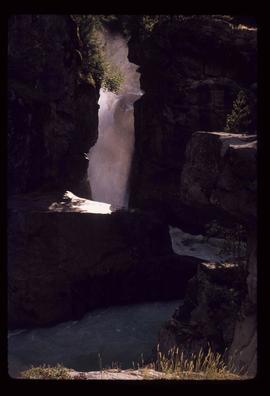
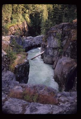
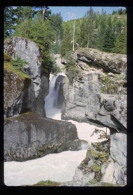
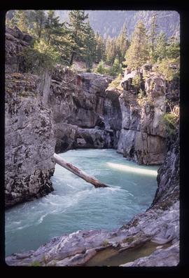
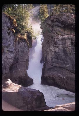
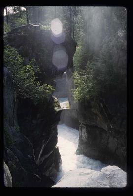
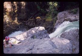
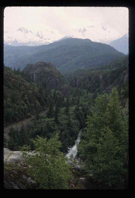
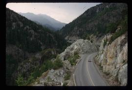
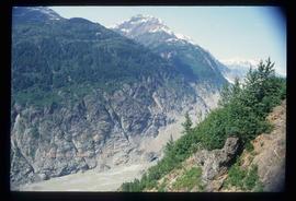
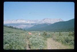
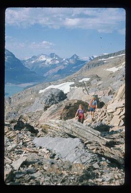
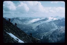
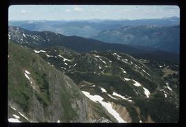
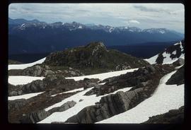
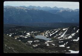
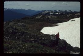
Image depicts numerous mountains surrounding the Bear Glacier.
Image depicts a mountain range "east of Driftwood," possibly meaning the Driftwood Canyon Provincial Park east of Smithers, B.C.
Image depicts what is either the Rocky Mountains or possibly the Columbia Mountains, from McBride, B.C.
Image depicts a mountain range located somewhere along the Skeena River.
Image depicts a field and a shack in the foreground and mountains in the background. The location is uncertain, likely Longworth, B.C.
Image depicts Mr. P.G. and the Tourism Information site at the intersection of Highway 16 and 97. Map coordinates 53°53'46.5"N 122°46'00.7"W
Image depicts a snow sculpture of the Mr. P.G. lounging on a couch, possibly during the Winter City Conference, in Prince George, B.C. Taken at the Prince George Civic Center. Map coordinates 53°54'45.6"N 122°44'59.6"W
Image depicts Mt. Fitzwilliam.
Image depicts Mt. Robson.
Image depicts a view of the Berg Lake and Glacier on the slope of Mt. Robson.
Image depicts the peak of Mt. Robson.
Image depicts a range of mountains in the Mt. Robson Provincial Park.
Image depicts a view of Mt. Robson Provincial Park.
Image depicts a glacier somewhere in Mt. Robson Provincial Park.
Image depicts a group of hikers somewhere in the Mt. Robson Provincial Park.
Image depicts a pair of hikers and a view of Mt. Robson Provincial Park.
Image depicts a view of Mt. Robson Provincial Park, with a group of hikers hiking up a mountain side in the foreground.
Image depicts a group of hikers somewhere in Mt. Robson Provincial Park.
Image depicts an unknown individual crouching by a lake somewhere near Mt. Robson.
Image depicts a river somewhere in Mt. Robson Provincial Park, with a bridge running over it. The slide itself is labelled "Robson station."
Image depicts Mud River, also known as the Chilako River, at Blackwater Road, Prince George, B.C.
Image depicts what appears to be a mud house with grass and weeds growing on the roof at an uncertain location. An unknown woman is sitting on a bench outside of it.
Image depicts the Mud River.
Image depicts a rail road bridge over the Mud River.
Image depicts a muddy back road and an old shack at an uncertain location.
Image depicts a view of Murray Ridge.
Image depicts an unknown individual and some snow located somewhere along the Murray Ridge.
Image depicts the back of a man looking out over Murray Ridge.
Image depicts a man sliding down the remaining snow on Murray Ridge.
Image depicts the Nairn Falls in Nairn Falls Provincial Park south of Pemberton, B.C.
Image depicts Nairn Falls.
Image depicts the Nairn Falls in Nairn Falls Provincial Park south of Pemberton, B.C.
Image depicts Nairn Falls.
Image depicts the Nairn Falls in Nairn Falls Provincial Park south of Pemberton, B.C. There is an unknown child sitting on the rocks in the image.
Image depicts a view of Nairn Falls Provincial Park.