File contains slides depicting maps and site plans for the city of Prince George.
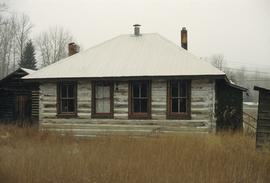
Image depicts the Hixon School building in Hixon, B.C.
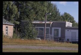
Image depicts a building in Reid Lake
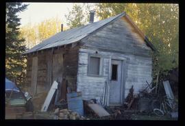
Image depicts the teacherage for the Salmon School, located in the Prince George vicinity.
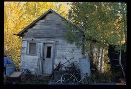
Image depicts the teacherage for the Salmon School, located in the Prince George vicinity.
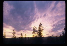
Image depicts the sky at either dusk or dawn, from an unknown location.
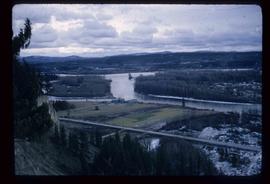
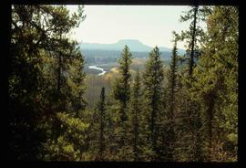
Image depicts a view of the Fraser-Nechako confluence from the Prince George cutbanks.
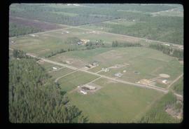
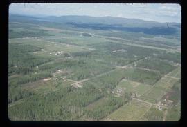
Image depicts a clearing in Prince George, B.C., possibly in the Pineview area.
Image depicts a clearing in Prince George, B.C.
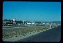
Image depicts Highway 97 at 15th Ave. looking north. Map coordinates 53°54'42.1"N 122°46'53.1"W
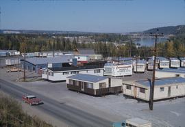
Image depicts mobile homes for sale on Cowart Road looking northeast with Simon Fraser Bridge in background. Map coordinates 53°52'39.3"N 122°46'13.1"W
Image depicts Tabor Mountain from the airport in Prince George, B.C.
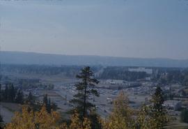
Image depicts Parkwood Place taken from Connaught Hill looking west with the hospital in the background. Map coordinates 53°54'39.9"N 122°45'02.5"W
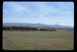
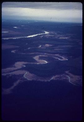
Image depicts natural meadows, possibly east of Prince Georg, B.C.
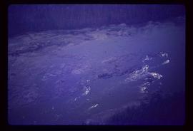
Image depicts Fort George Canyon.
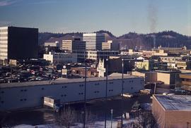
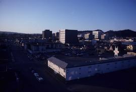
Image depicts downtown Prince George looking northwest across Dominion Street. Map coordinates 53°54'48.7"N 122°44'45.6"W
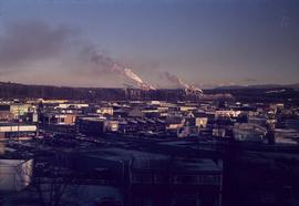
Image depicts a view of Prince George from City Hall looking northeast with the pulp mills in the background. Map coordinates 53°54'46.3"N 122°44'41.9"W
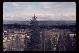
Image depicts a view of Prince George from Cranbrook Hill looking southeast. Map coordinates 53°54'51.5"N 122°49'05.2"W
Image depicts a view of Prince George from Gunn Point in the L.C. Gunn Park looking north. Map coordinates 53°54'26.2"N 122°43'35.8"W.
Image depicts a view of Prince George from Gunn Point in the L.C. Gunn Park looking north. Map coordinates 53°54'26.2"N 122°43'35.8"W.
Image depicts a view of Prince George from Gunn Point in the L.C. Gunn Park looking north. Map coordinates 53°54'26.2"N 122°43'35.8"W.
Image depicts a view of Prince George from Gunn Point in the L.C. Gunn Park looking north. Map coordinates 53°54'26.2"N 122°43'35.8"W.
Image depicts a view of Prince George from Gunn Point in the L.C. Gunn Park looking north. Map coordinates 53°54'26.2"N 122°43'35.8"W.
Image depicts a view of Prince George, from Gunn Point in the L.C. Gunn Park.
Image depicts downtown Prince George taken from City Hall looking northwest. Map coordinates 53°54'46.2"N 122°44'43.9"W
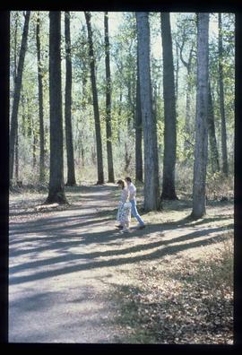
Image depicts a couple walking through a nature trail in Cottonwood Island Park. Map coordinates 53°55'23.6"N 122°43'53.8"W
Image depicts an aerial view of Fort George Park.
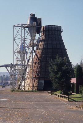
Image depicts a Beehive Burner along the Nechako on River Road. Map coordinates 53°55'34.1"N 122°44'58.0"W.
Image depicts the cutbanks on the other side of the Nechako, taken from the nature trail at Island Cache. Map coordinates 53°55'34.6"N 122°45'52.4"W
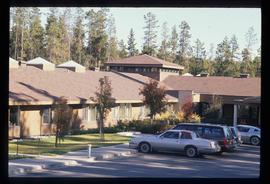
Image depicts Parkside Intermediate Care Home on Ospika Boulevard in Prince George. Map coordinates 53°55'02.6"N 122°47'41.6"W
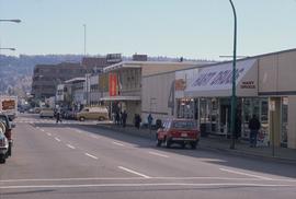
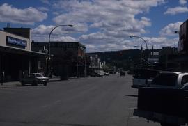
Image depicts 4th Ave at Brunswick St. and the following businesses: Hart Drugs, The Yarn Barn, and Saveco. Map coordinates 53°54'59.9"N 122°44'52.9"W
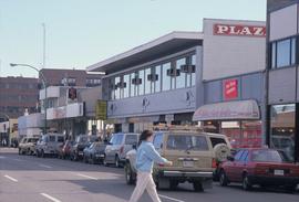
Image depicts 4th Ave at Quebec St, showing the following businesses: The Yarn Barn, Golden Chalice Jewellers, Dandy Lines, Ultrasport, and Saveco. Map coordinates 53°54'58.6"N 122°44'47.5"W
Image depicts the Northwood pulpmill in Prince George B.C.
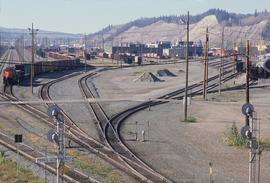
Image depicts a number of trains in the CNR train yard taken from River Road in Prince George, B.C. Map coordinates 53°54'51.5"N 122°43'29.6"W
Image depicts a view of Blackburn Schools, possibly taken from Tabor Mountain.
Image depicts Prince George, possibly with the Northwood Pulpmill in the background.
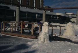
Image depicts two snow sculptures near a wooden bridge on an ice rink, possibly during the Winter City Conference, in Prince George, B.C. Taken at the Prince George Civic Center. Map coordinates 53°54'45.6"N 122°44'59.6"W
Image depicts downtown Prince George taken from across the Nechako River looking south. Map coordinates 53°56'00.0"N 122°44'29.7"W
Image depicts downtown Prince George taken from across the Nechako River looking south. Map coordinates 53°56'00.0"N 122°44'29.7"W
Image depicts Prince George Sawmill taken from across the Nechako River looking southwest. Map coordinates 53°56'00.0"N 122°44'29.7"W
Image depicts 3rd Ave in Prince George, B.C. Map coordinates 53°55'01.9"N 122°44'48.7"W
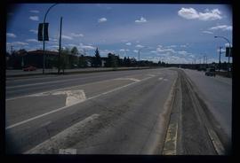
Image depicts a section of Highway 97 looking south. Map coordinates 53°55'10.3"N 122°46'54.9"W
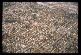
Image depicts an aerial view of a Prince George residential section between Highway 97, Carney Street and 10th Ave looking north. Map coordinates 53°54'54.0"N 122°46'00.4"W
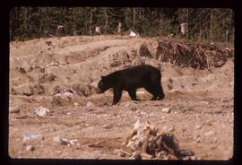
Image depicts a bear located at the Bear Lake Dump.
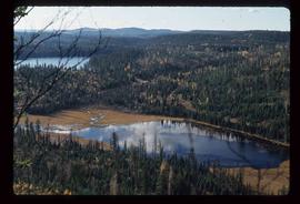
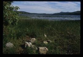
Image depicts Summit Lake.
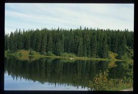
Image depicts a canoe on the Fraser Lake.
Image depicts a view of the Crooked River Provincial Park.
Image depicts McLeod Lake.
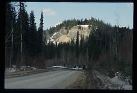
Image depicts a road, forest, and hill rise in an uncertain location possibly near Red Rock, B.C.
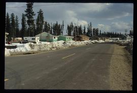
Image depicts some houses in Bear Lake, B.C.
