2013.6.36.1.100.05
·
Item
·
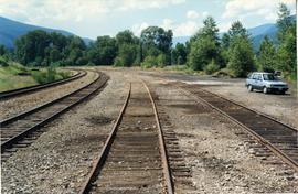
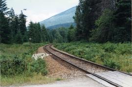
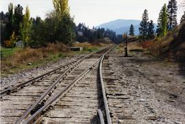
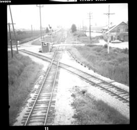
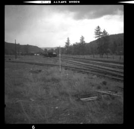
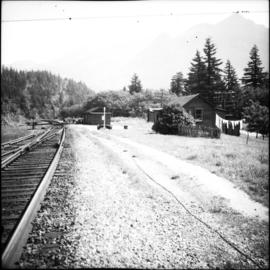
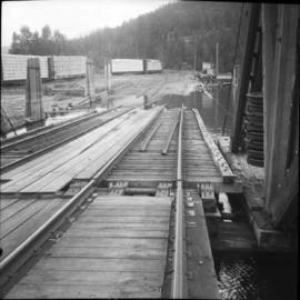
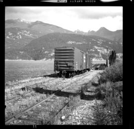
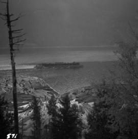
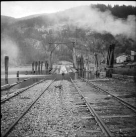
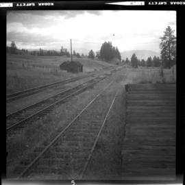
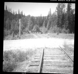
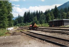
Aug. 1997
Part of David Davies Railway Collection
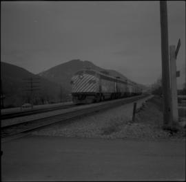
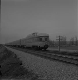
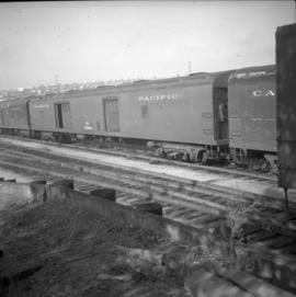
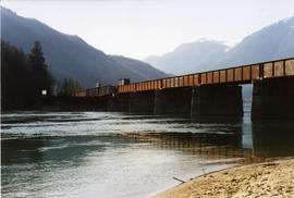
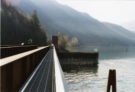
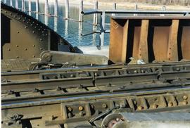
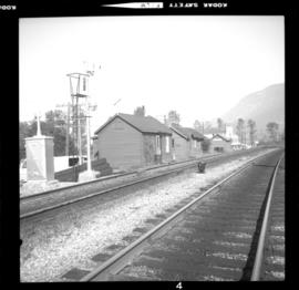
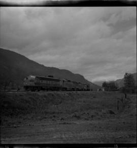
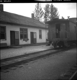
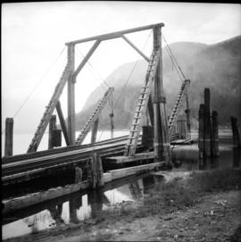
Photograph depicts the Nelson Subdivision in Procter. Until 1977, the rail/barge slip was used for lake traffic. All related facilities were removed. Track to slip located on the left. Rails were on existing spurs dated between 1898 and 1914.