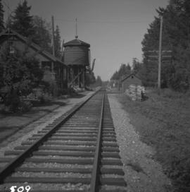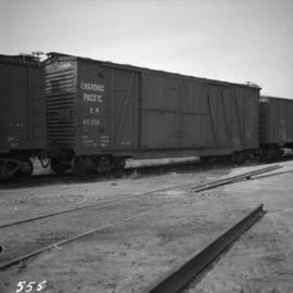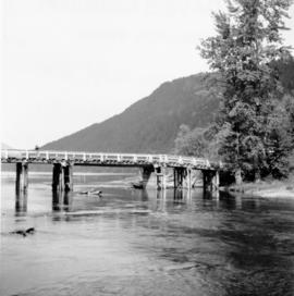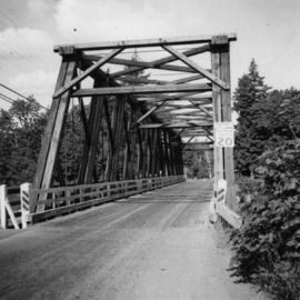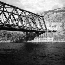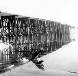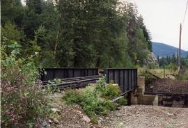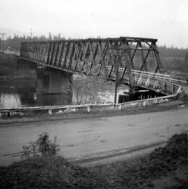
2013.6.36.1.099.06
·
Item
·
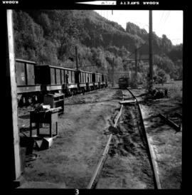
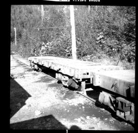
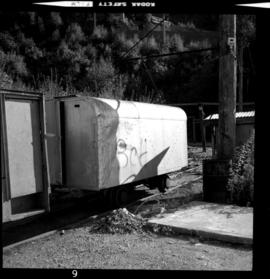
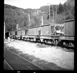
Aug.1997
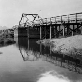
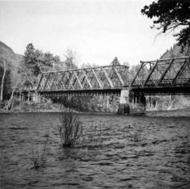
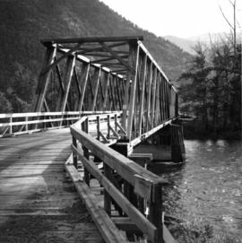
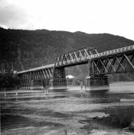
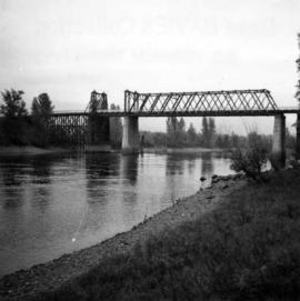
Part of David Davies Railway Collection
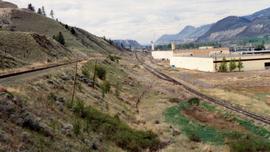
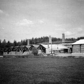
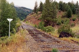
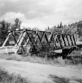
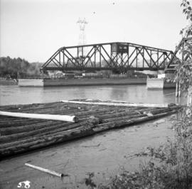
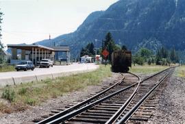
Photograph depicts the border crossing point, 12 miles east of Grand Forks. Taken on the Canadian side. Visible grain car lettered "BN." This branch line fromed a bi "U" with the bottom of it running for 15 miles in Canada, in the Grand Forks area. The line began east of Kettle Falls (hence Spokane) and concluded in the west at Republic.