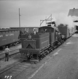
2013.6.35.45
·
Item
·
25 June 1969
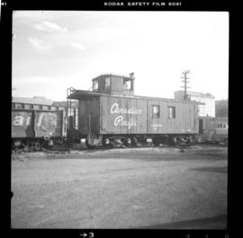
Part of David Davies Railway Collection
Sign says "Pacific Great Eastern Railway Company - Explosives - Handle Carefully - Keep Fire Away - North Vancouver Station June 25 1969". Also includes condensed rules for handling cars with explosives.