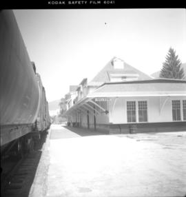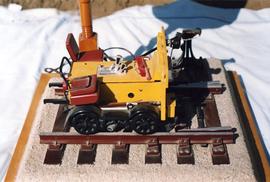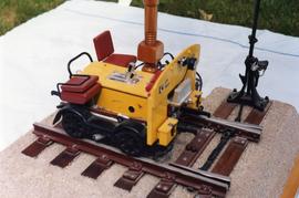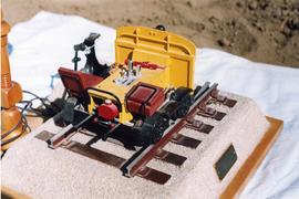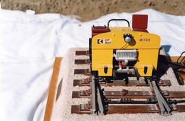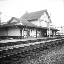
2013.6.36.1.053.29
·
Item
·
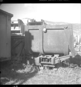
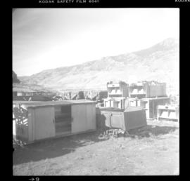
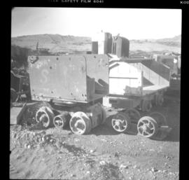
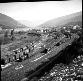
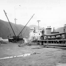
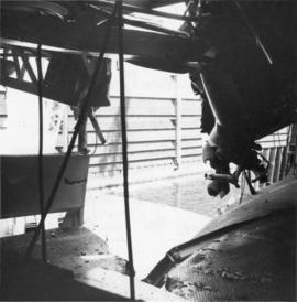
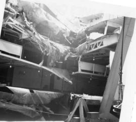
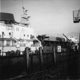
13 Oct. 1980
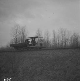
Part of David Davies Railway Collection
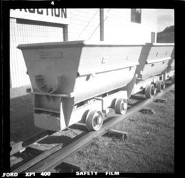
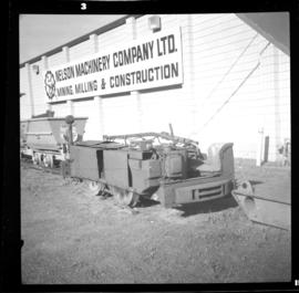
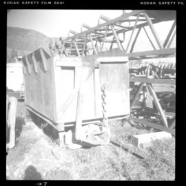
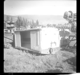
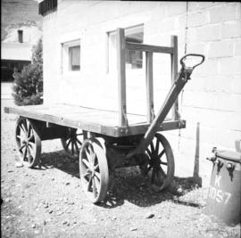
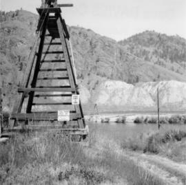
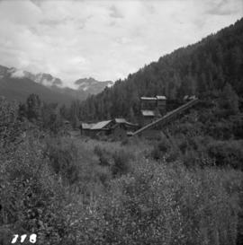
Photograph depicts a mining equipment depot of the Nelson Machinery Company in Savona.