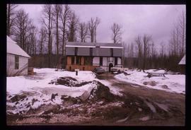
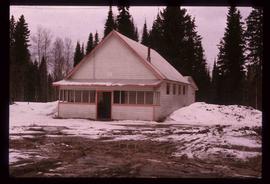
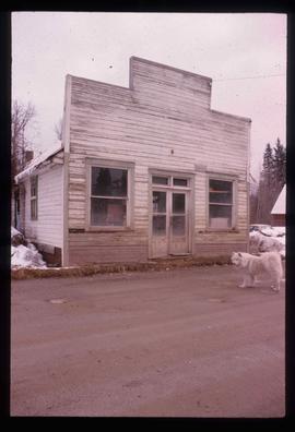
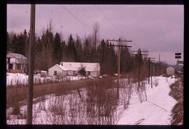
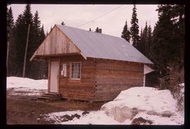
File contains slides depicting images of areas around Dease Lake, B.C.
Image depicts Upper Fraser residential area during demolition of town site. Map coordinates 54°06'51.6"N 121°56'26.3"W
Image depicts debris left in residential area on Giscome, B.C. townsite. Map coordinates 54°04'16.7"N 122°21'55.1"W
Image depicts a deer on a path somewhere near Bralorne, B.C.
Image depicts an aerial view of Diamond Island, near Quesnel, B.C.
Image depicts a dilapidated house in Sinclair Mills, B.C.
Image depicts two dilapidated houses in Sinclair Mills, B.C.
Image depicts an old house for sale surrounded by overgrown bushes in Upper Fraser, B.C. Map coordinates 54°07'15.0"N 121°57'02.0"W
Image depicts a dirt road leading through numerous trees toward a mountain. The location is uncertain, likely on the way to Longworth, B.C.
Image depicts a dirt road and a possibly abandoned building at an uncertain location.
Image depicts a dirt road leading through a forest.
Image depicts a dirt road leading through a forest with what appears to be an area for turning around at the end.
File contains slides depicting areas around the Discovery Passage.
Image depicts a section of disturbed ground at an unknown location.
Image depicts an area of disturbed ground, most likely due to a landslide, at an unknown location.
Image depicts a large section of disturbed ground at an unknown location.
Image depicts an area of disturbed ground, most likely due to a landslide, at an unknown location.
Image depicts a ditch of water at an uncertain location.
Image depicts Divide Lake.
File contains slides depicting images of and around Divide Lake.
Image depicts the "Divides Lake Waterfall."
Image depicts the "Divides Lake Waterfall" as well as a man in front of a helicopter in the foreground.
Image depicts an unidentified individual diving into a pool of water at an uncertain location.
Image depicts a dock on a lake in Carp Lake Provincial Park, possibly War Lake.
Image depicts a dock in Prince Rupert, B.C.
Image depicts an individual sitting on a dock on a lake somewhere on Haida Gwaii.
Image depicts numerous docked boats in Prince Rupert, B.C.
Image depicts numerous docked boats somewhere in Prince Rupert, B.C.
Image depicts numerous boats docked in Prince Rupert, B.C.
Image depicts a ferry docked at Haida Gwaii, B.C.
Image depicts a house and numerous rundown vehicles in Dog Creek, B.C.
Image depicts a dog in a forest, possibly somewhere near Woodpecker, B.C.
Image depicts a dog standing on a path through the woods somewhere in Carp Lake Provincial Park.
Image depicts an unknown individual and a dog on a bridge over what is possibly the Robson River.
Image depicts a pair of dogs in a forest, possibly somewhere near Woodpecker, B.C.
Image depicts a house somewhere in Dome Creek, B.C.
Image depicts a Catholic Church in Dome Creek, B.C.
Image depicts what is possibly the CN Station in Dome Creek, B.C.
Image depicts the CN Station in Dome Creek, B.C.
Image depicts the community hall in Dome Creek, B.C.
Image depicts an old building that used to be a store and post office in Dome Creek, B.C.
Image depicts a farmhouse in Dome Creek, B.C.
Image depicts a horse and a barn in Dome Creek, B.C.
Image depicts several houses in Dome Creek, B.C.
Image depicts a small shack that became the later post office in Dome Creek, B.C.