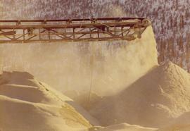
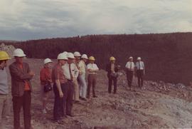
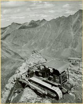
2000.1.1.3.13.14
·
Item
·
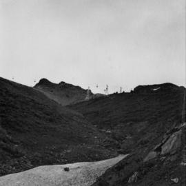
1971
Part of Cassiar Asbestos Corporation Ltd. fonds
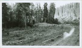
Photograph depicts the Cassiar mine after extensive strip mining. It is believed that the North and South peak stand in background, and the West peak in foreground. Handwritten annotation on recto of photograph: "1971".