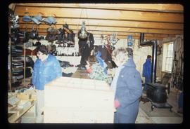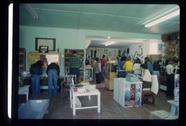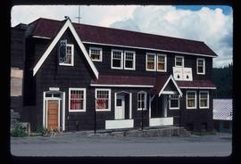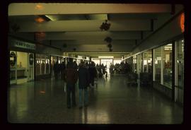
2012.13.1.6.119
·
Item
·
[1980?]
Part of J. Kent Sedgwick fonds
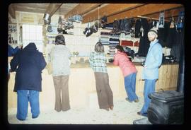
Image depicts the interior of the historic Hudson's Bay Company Trading Post, with several unknown individuals present, in Fort St. James, B.C.