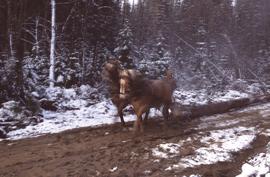
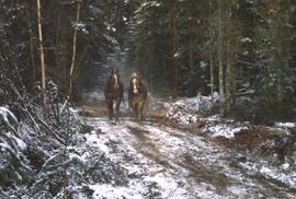
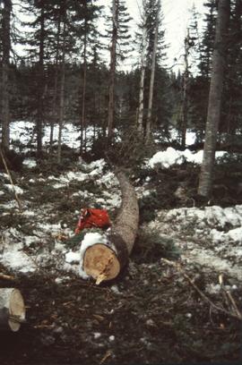
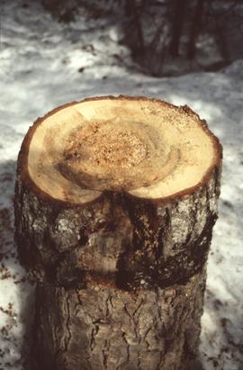
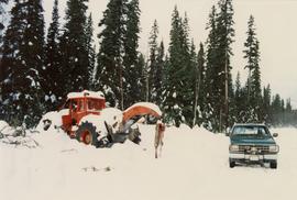
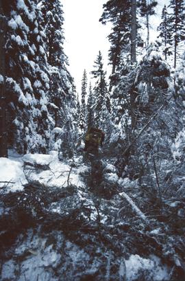
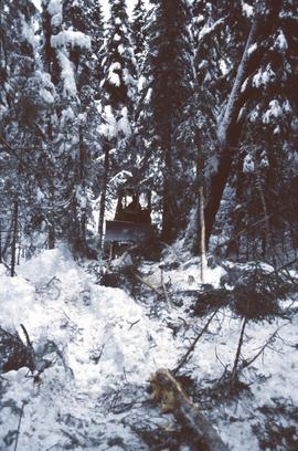
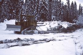
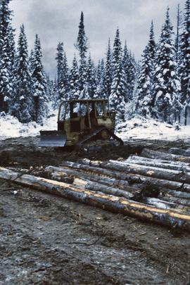
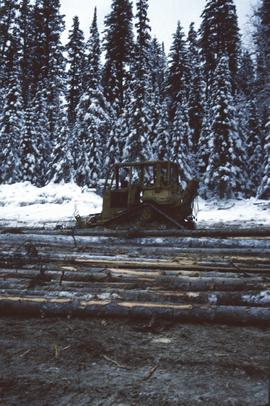
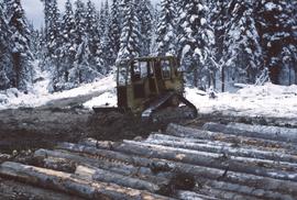
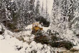
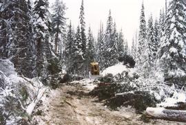
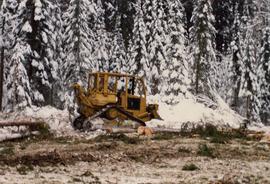
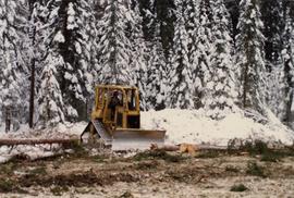
Annotation on slide: "Horse-logging single-tree selection, Pass Lake SBSvk"
No annotation on slide.
Annotation on slide: "Heavy Residual Basal Area: Summit Lake".
Slide depicts a man operating heavy equipment in a forest, likely at the Aleza Lake Experiment Station.
Annotation on slide: "Harry Coates with Sw seedlings planted spring of 1991, SBSwk1, Note chlorotic seedlings"
File consists a transcript of an oral history with Harry Coates recorded by Barbara Coupe.
File consists an audio recording of an oral history with Harry Coates recorded by Barbara Coupe.
File consists a transcript of an oral history with Harry Coates recorded by David Mills.
File consists an audio recording of an oral history with Harry Coates recorded by David Mills.
Slide depicts a heavily forested area with fallen logs, likely at the Aleza Lake Experiment Station.
Original forest cover map shows timber history in the area of Giscome, BC.
Videocassette is a VHS recording of an interview with John Revel produced by Spectrum Videoworks as part of a BC Forest Service "Esprit de Corps" institutional memory project.
Annotation on slide: "Summit defective cull, Marked-to-cut swept log, Summit Lake selection trial".
Annotation on slide: "Decay in subalpine fire scarred by 1955 stand entry (logged w 91/92), Summit Lake Trial".
Annotation on photograph verso: "D6 grapple skidder used for road development only. 27/12/91. Summit Lake Selection Trial"
Annotation on slide: "Summit Lake, D4H skidding logs".
Annotation on slide: "Summit Lake, D4H on narrow skid road".
Annotation on slide: "Summit Lake D4H on skid road"
Annotation on slide: "Summit Lake D4H highdrive"
Annotation on slide: "Summit Lake D4H highdrive skidder"
Annotation on slide: "Summit Lake D4H highdrive"
Annotation on photograph verso: "D-4 tracked skidder at Start of B Road. 15/1/92. Summit Lake Selection Trial"
Annotation on photograph verso: D-4 tracked skidder at "Start of B Road. 15/1/92. Summit Lake Selection Trial"
Annotation on photograph verso: "D-4 tracked skidder. 15/1/92. Summit Lake Selection Trial"
Slide depicts a detonation in an area of cleared ground in a forested area, likely the Aleza Lake Experiment Station. Work may have been undertaken for roadbuilding activities at the Experiment Station.
Slide depicts a cleared area in a forest, likely at the Aleza Lake Experiment Station.
Slide depicts a cleared area at the Aleza Lake Experiment Station with plant regeneration.
Slide depicts a bulldozer clearing ground, likely at the Aleza Lake Experiment Station.
Item is a BC Forest Service beverage coaster.
Slide depicts a black bear eating garbage by wooden outbuildings, possibly at the Aleza Lake Experiment Station.
Annotation on photograph verso: "Summit Lake Trial EP 1162, Winter 1991/1992"
Item is a British Columbia Forest Cover Map, serial number 093J010. Includes full format forest cover labels.
Item is a British Columbia Forest Cover Map, serial number 093I001. Includes full format forest cover labels.
Reproduced map on mylar depicts the Aleza Lake timber reserve near Aleza Lake, BC.
Item is a forest cover map for Aleza Lake Research Forest (Special Use Permit 19070). Shows experimental plots and timber sale areas.
Map indicates locations of research trials and permanent plots in the Aleza Lake Research Forest. Map produced by Madrone Consultants.
Item is a hand-drawn map of a plot in the Aleza Lake Research Forest. Individual trees are marked and numbered.
Mylar map is a plot map of a research plot at the Aleza Lake Research Forest. Provides date the plot was established, the harvest history, the silviculture history, remeasurement history, and information about individual trees.
Item is a hand-drawn map of a plot in the Aleza Lake Research Forest. Individual trees are marked and numbered.