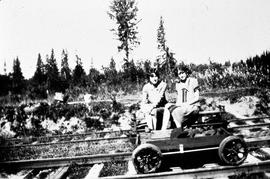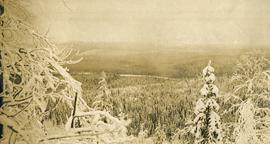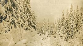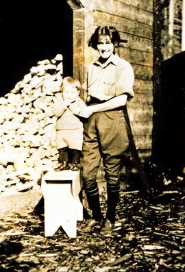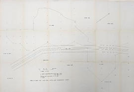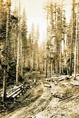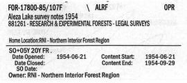
2007.1.85.1
·
File
·
1954
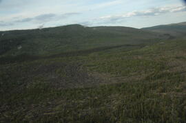
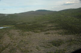
Part of Aleza Lake Research Forest fonds
File contains photocopies of survey notes from 1954.