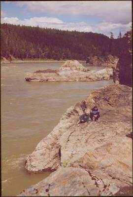
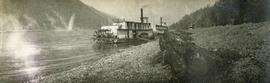
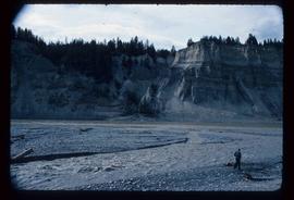
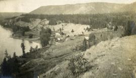
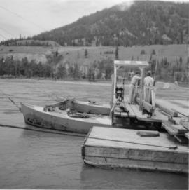
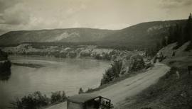
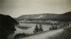
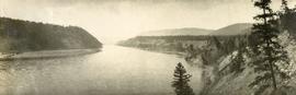
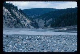
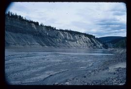
Photograph depicts a view from a high hill looking down on the Fraser River near Soda Creek.
Image depicts some cacti somewhere near Soda Creek, B.C.
Image depicts the Cariboo Road in Soda Creek, B.C.
Handwritten notation affixed to verso reads: "Iona w/ Lee Morrison (late) director of First Nations Centre at that time. Soda Creek / net fishing for elders".
Photograph was taken during the chancellor's tour of Xats'ull Heritage Village, Soda Creek First Nation, Williams Lake, B.C.
Photograph depicts construction of a possible steamboat at Soda Creek.
Photograph depicts a field roller made out of logs.
Photograph depicts a steam paddle wheeler anchored near the shore of a river. A walk plank joins the steamship to the rocky river shore.
Image depicts the Fraser River, south of Soda Creek, B.C.
Image depicts a boulder protruding from layers of sediment with a hammer beside it for size reference. It is located somewhere in Soda Creek, B.C.
Photograph depicts a newly erected log fence near Soda Creek, BC
Photograph depicts a lumber wagon.
Image depicts an aerial view of the Fraser River near Soda Creek, B.C.
Photograph depicts three or more passengers with sleeping/bed rolls on the deck of the S.S. Nechako sternwheeler. There is a river, riverbanks and low hills in the background.
Photograph depicts a wrecked steel box car used by a farmer as some kind of shed with some of the side panels removed.
Image depicts a bridge at Soda Creek, B.C. There are numerous unknown individuals present.
Image depicts rail road tracks through a forest, as well as a river; located in Soda Creek, B.C.
Image depicts a forest and river in Soda Creek, B.C.
Image depicts the old BX Sternwheeler office building in Soda Creek, B.C.
Image depicts the cemetery in Soda Creek, B.C.
Image depicts the ferry at Soda Creek, B.C.
Image depicts a house in Soda Creek, B.C.
Image depicts the old community hall in Soda Creek, B.C.
Image depicts the old jail house in Soda Creek, B.C.
Image depicts an old building located somewhere are the Pickard farm north of Soda Creek, B.C.
Image depicts what appears to be a Ranch at Soda Creek, B.C.
Image depicts a section of land, with a few houses, in Soda Creek, B.C.
Image depicts the cutbanks of the Fraser River at Soda Creek, B.C.
Photograph depicts a view of a small village near a river, a narrow dirt road boarders the river.
Photograph depicts the Soda Creek reaction ferry.
Photograph depicts the Soda Creek reaction ferry. A ferry was sited between Soda Creek and Marguerite. The reaction ferry in Soda Creek itself had been abandoned for some time.
Stern wheeler in river. Printed annotation on recto reads: “Steamer B.X. Monarch of New B.C. Soda Creek, Quesnel and Fort George”
Image depicts the tombstone of T.J. Menefee in the cemetery in Soda Creek, B.C.
Photograph depicts a view of Fraser River from the Soda Creek hill in June 1936. Wyness notes that photograph was taken at mile 200, which was approximately 167 miles from Ashcroft.
Photograph depicts a view of Fraser River from the Soda Creek hill in October 1936. The town of Soda Creek is barely visible at right.