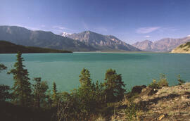
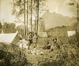
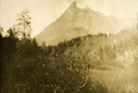
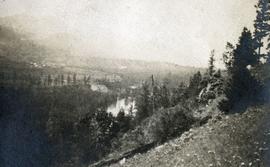
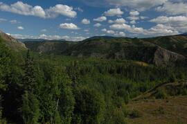
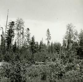
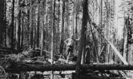
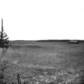
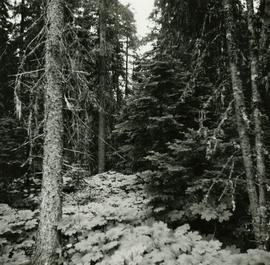
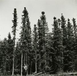
2006.18.6.03.06
·
Item
·
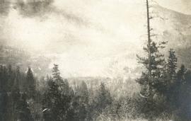
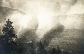
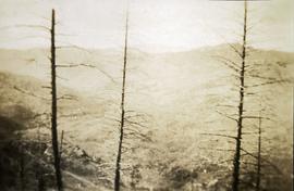
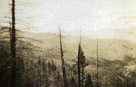
July 1994
Part of Aleza Lake Research Forest Society fonds
Annotation on slide: "Lucille Mt. from Mt. Teare, Susan Stevenson, July 1994"