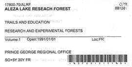
2007.1.30.6
·
File
·
1996-1997
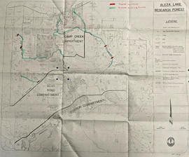
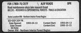
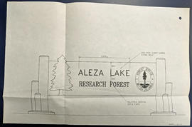
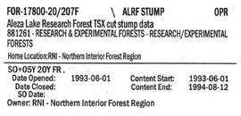
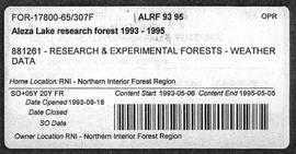
Part of Aleza Lake Research Forest fonds
File contains a brochure, a 1993 solid waste management plan, a 1996 Forest Practices policy handbook, and a 1996 draft of the Prince George Land and Resource Management Plan.