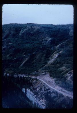
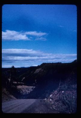
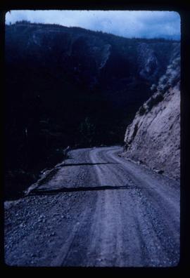
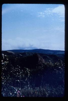
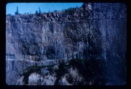
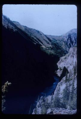
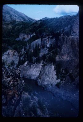
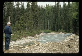
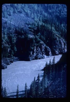
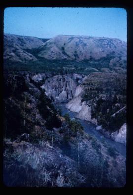
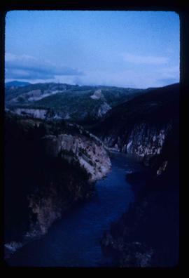
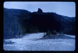
Image depicts the Terzaghi Dam viewed from the downstream side near Bralorne B.C.
Image depicts a rail road bridge located somewhere near Terrace, B.C.
Image depicts a view of Terrace, B.C.
Image depicts several orange and blue tents, possibly somewhere near Riske Creek, B.C.
Image depicts the Royal Bank of Canada in Telkwa, B.C.
Image depicts a view of a lake that is near Telkwa, B.C. The slide is labelled as "Telkwa - McClure Lake," though it is possibly Tyhee Lake.
Image depicts two bridges in Telkwa, B.C. One is for trains.
Image depicts a street in Telkwa, B.C.
Image depicts the Telkwa river in Telkwa, B.C.
Image depicts a man with the wire for the telegraph trail in an uncertain location.
Image depicts the old telegraph station in Stewart, B.C.
Image depicts a field along Telegraph Road, south-west of Vanderhoof, B.C.
Image depicts Telegraph Road, south-west of Vanderhoof, B.C.
File contains slides depicting Telegraph Creek.
Image depicts the Telegraph Creek Road, as well as the Creek itself.
Image depicts Telegraph Creek Road.
Image depicts the Telegraph Creek.
Image depicts a cliff face near Telegraph Creek.
Image depicts a bridge over Telegraph Creek.
Image depicts the Telegraph Creek.
Image depicts an old telegraph cabin at Cheslatta, B.C.
Image depicts a set of railway tracks, and a building with a sign which reads: "Telegraphs." The location is uncertain, but possibly in the Peace River Region.
Image depicts what appears to be a teepee at an uncertain location.
The item is a photograph depicting the unveiling of the Arrival of Steel monument at 772 1st Avenue, Prince George. Ted Williams and a woman are photographed looking at the plaque on the monument.
Image depicts a man, possibly Ted Faulkner, looking at a creek.
File consists of notes, clippings, and reproductions relating to the UNBC course "GEOG 424 Social Geography of Northern Communities" taught by Greg Halseth.
Item is an original 1979 map depicting Taseko Lakes in British Columbia, published by the Province of British Columbia Ministry of Environment.
Item is an original 1969 map depicting Taseko Lakes in British Columbia, published by the Department of Energy, Mines and Resources in Ottawa Canada.
The item is a photograph of Tan! and Body Axis Fitness Gear on 3rd Avenue, Prince George.
Image depicts a tall pine tree somewhere on Haida Gwaii.
Image depicts the government houses located at the Takla Landing.
Image depicts Takla Lake west of Leo Creek.