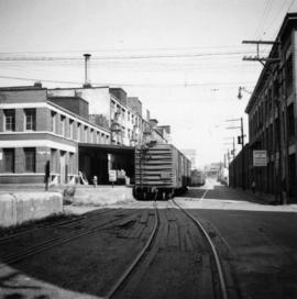
2013.6.36.1.003.022
·
Item
·
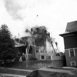
Dec. 1964
Part of David Davies Railway Collection
Photograph depicts a house fire on 1000 Beach Block and Thurlow St. on December 18, 1964. A wrecking gang accidently set fire to the house and it took one hour to get the fire under control.