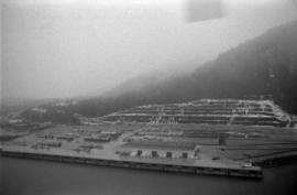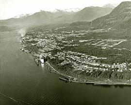
2011.3.3.30
·
Item
·
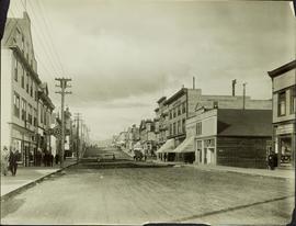
[ca. 1910]
Part of North Coast & Central BC Postcard Collection
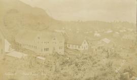
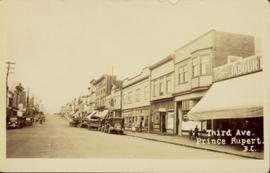
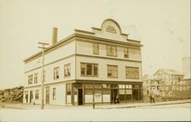
Street view of the Dominion Building in Prince Rupert, which contains the Government telegraph Office and Post Office. Printed annotation on recto reads: "Central Post Office Prince Rupert B.C." Handwritten annotation on verso reads: "Aug 18th. The cor. of the High bldg. on the right is the Prince Rupert Hotel. Front side is other way 5 stories high at [illegible] Hotel is in the next block. Notice [??] at the back is al-the [sic] lots of Hill leading down to Shops [??]. St. James' Hotel close by Prince Rupert was 5 stories high. For sure had [??] chimneys on it- a big fire engulfed [??] it about a year ago and it is being taken down. I must go & work bye bye. Love Dady. Psalm 46-1 & 48-14 was my AM verses specially."