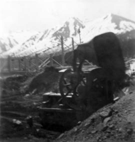
2000.1.1.2.1.223
·
Item
·
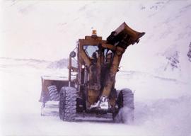
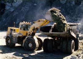
7 June 1952
Part of Cassiar Asbestos Corporation Ltd. fonds
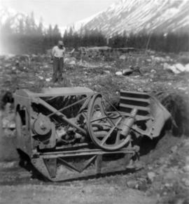
Photograph depicts track loader moving dirt in semi-cleared area, man and mountains in background. Corresponding note on accompanying photo description page: "3. Excavating for ore haul truck dump. Looking west".