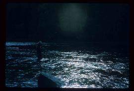
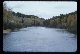
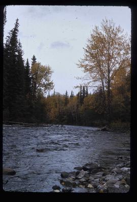
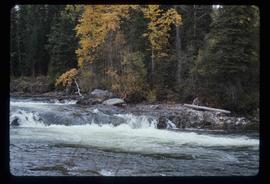
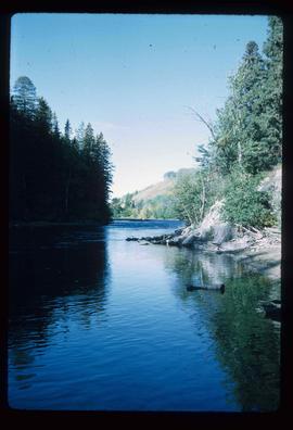
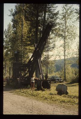
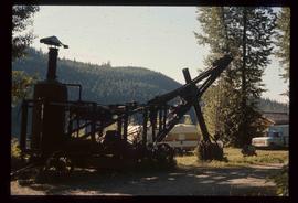
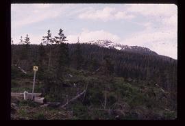
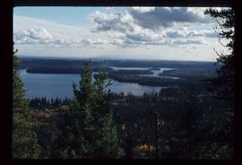
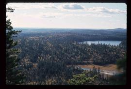
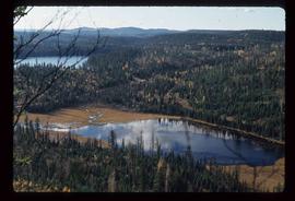
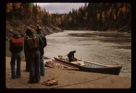
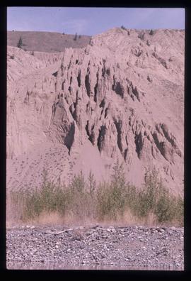
Image depicts Tabor Mountain in the distance, located in Prince George, B.C.
Image depicts a view of the area around Tabor Mountain in Prince George, B.C.
Image depicts Tabor Mountain from the airport in Prince George, B.C.
Image depicts a view of Prince George, from Gunn Point in the L.C. Gunn Park.
Image depicts a view of Tabor Lake.
Image depicts grooving on Tabor Mountain in Prince George, B.C.
Image depicts grooves on Tabor Mountain in Prince George, B.C.
Image depicts objects, including a flag pole, that the slide labels as "survey equipment." The slide also places it as a "Peyto icefall," on the Peyto Galcier in the Banff National Park in Alberta, B.C.
Image depicts a sunshine recorder at an uncertain location.
Image depicts a view of a sunset at an uncertain location, possibly in the Peace River Region.
Image depicts Summit Lake.
Image depicts Sue Sedgwick standing on the bank of a river.
Image depicts Sue Sedgwick standing next to a camper.
Image depicts a small stream running through a cluster of trees somewhere in or around Seton Portage, B.C.
Image depicts a small stream somewhere on Cottonwood Island.
Image depicts a stream somewhere along the White Pass railway.
Image depicts a downhill stream somewhere in the area surrounding Stewart, B.C.
Image depicts a view of the Dunkley Lumber Mill in Strathnaver, B.C.
Image depicts the BCR, as well as the Dunkley Lumber Mill, in Strathnaver, B.C.
Image depicts what is likely the Dunkley Lumber Mill in Strathnaver, B.C.
Image depicts an aerial view of Strathnaver, B.C.
Image depicts a group of people stopped in the middle of the Fraser River in the Grand Canyon, B.C.
Image depicts a stone marker in Lamming Mills, B.C.
Image depicts Stewart Harbour in Stewart, B.C.
Image depicts Stewart, with a section of Mt. Shorty Stevenson dominating the background.
Image depicts a couple of salmon in the Stellako River.
Image depicts a Fisherman wading in the Stellako River.
Image depicts the Stellako River.
Image depicts an unknown individual with a raft on the Stellako River. The slide is labelled "fisheries research."
Image depicts the Stellako River.
Image depicts a steep mountain road somewhere in the area of Seton Portage, B.C.
Image depicts a woman standing next to a steam shovel, located in Quesnelle Forks.
Image depicts a steam shovel, located in Quesnelle Forks.
Image depicts the start of the Raven trail, with the view angled towards Raven Peak in the distance.
Image depicts the start of Joffre Creek Road, most likely somewhere in the Joffre Lakes Provincial Park.
Image depicts a long line of people cross country skiing along the Birchleg route on Tabor Mountain in Prince George, B.C.
Image depicts a large vessel docked in Prince Rupert, B.C. The name on its side is "Star Capella." The slide itself is labelled "superport."
Image depicts an old, rotting grave marker in the Stanley Cemetery.
Image depicts the Stanley Cemetery.
Image depicts an unidentified individual standing next to a marker and a stake at an uncertain location.
Image depicts an old building at an uncertain location. The slide is simply labelled "Spring house."
Image depicts a fishing boat on the water somewhere near Prince Rupert, B.C. Only half of its name is visible: "spirit."
Image depicts a spiky rock formation at an uncertain location.