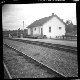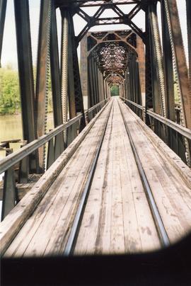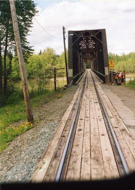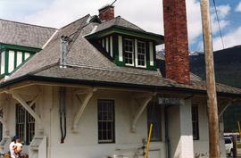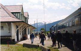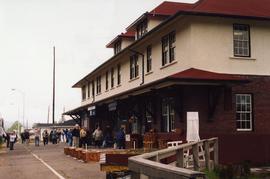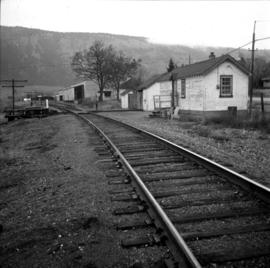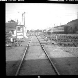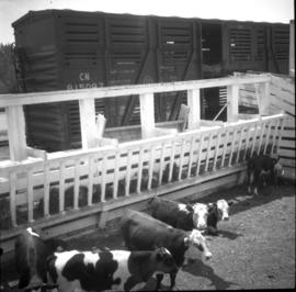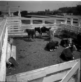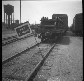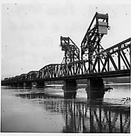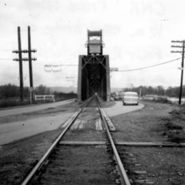
2013.6.36.1.039.06
·
Item
·
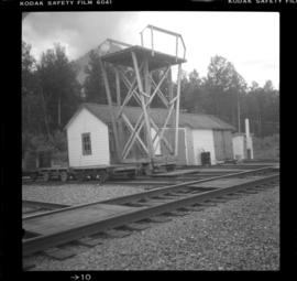
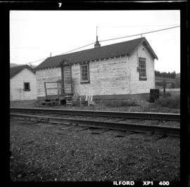
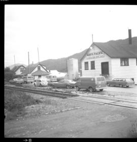
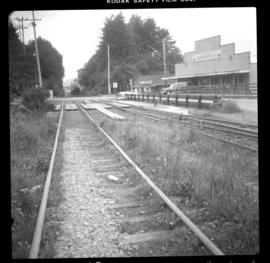
[3 July 1980]
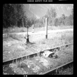
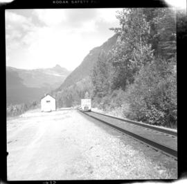
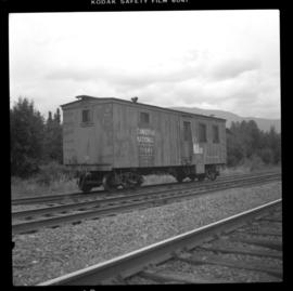
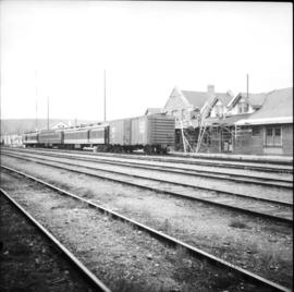
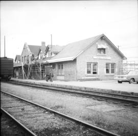
Part of David Davies Railway Collection
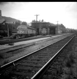
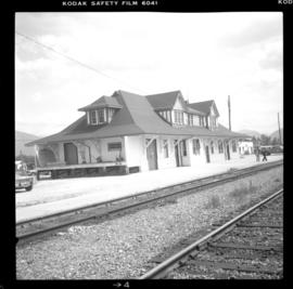
Photograph depicts the CNR depot in McBride. It was built by the Grand Trunk Pacific Railway in 1919 according to an individual design.