2013.6.36.1.002.069
·
Item
·
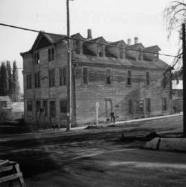
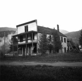
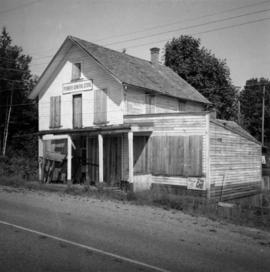
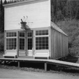
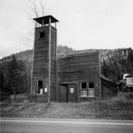
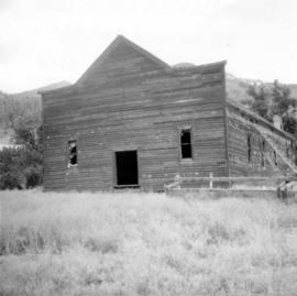
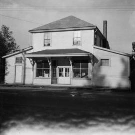
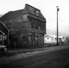
Oct. 1965
Part of David Davies Railway Collection
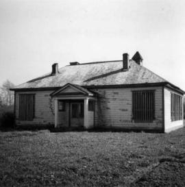
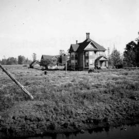
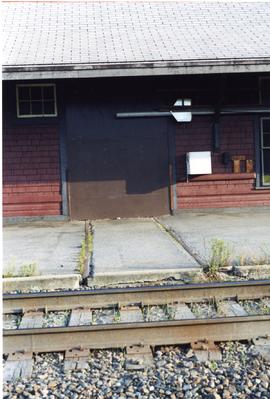
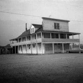
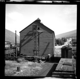
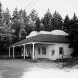
Photograph depicts a derelict building on the old Main St in Slocan City, northwest of Nelson.