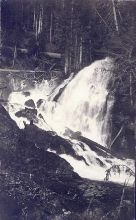
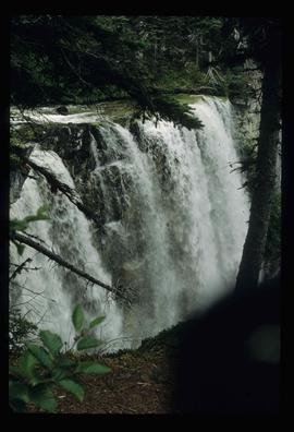
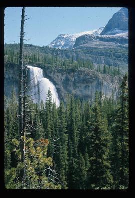
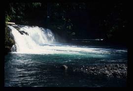
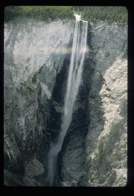
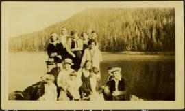
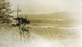
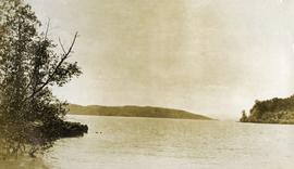
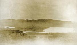
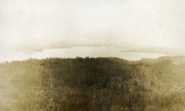
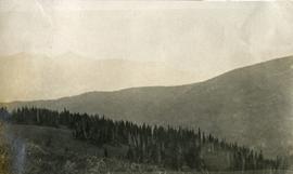
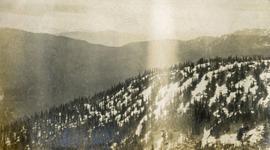
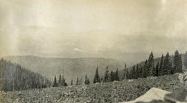
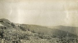
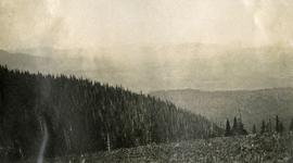
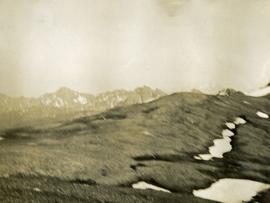
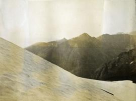
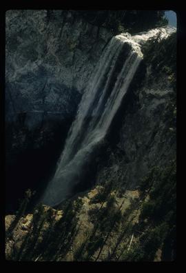
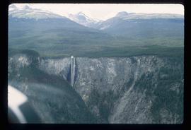
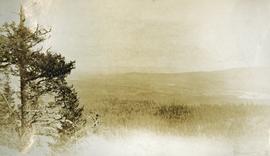
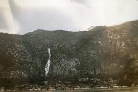
Photograph depicts a waterfall on a rocky mountainside. There are snow peaked mountains in the distance.
Photograph depicts a waterfall in a forested area with a riverbank in the foreground.
Photograph depicts piles of wood planks and log booms in the foreground with a waterfall in the background.
Photograph depicts white rapids at bottom of waterfall in Bulkley River, B.C. Fishing territory visible on far right; hill on opposite shore in background.
Photograph depicts a waterfall and stream with rocky banks.
Image depicts a waterfall with a mountain peak in the background; it is most likely Mt. Robson.
Image depicts a waterfall in what is possibly the Robson River.
Image depicts a waterfall somewhere in South Tweedsmuir Provincial Park.
Image depicts a waterfall on a mountain side in Mt. Robson Provincial Park.
Image depicts a small waterfall at an uncertain location.
Image depicts an aerial view of a waterfall in South Tweedsmuir Provincial Park.
Photograph depicts an unidentified man standing to left of large puddle in gravel pit, mountain peaks in background. Photo speculated to have been taken on the plant, or near the Cassiar airstrip, facing south west. Stamped annotation on recto of photograph: "JUN. 1987".
Photograph depicts benches of Cassiar's open mine. Men can be seen standing near machinery speculated to be blasthole drills in bottom left of image. Handwritten annotation on recto of photograph: "Waste Stripping Operations on McDame Mt. Ore Mining in lower right Corner.", on verso: "1961".
Image depicts War Lake.
Handwritten annotation on recto of photograph: "Omineca Dist Walcott Suspension Bridge West Approach - looking East May 26 - 1932". Photograph depicts two white horses pulling a wagon in front of Walcott bridge. This bridge was moved from its original location in the Hagwilget Canyon, downstream from Walcott on the Bulkley River. It is a pedestrian bridge at the time of this photograph, though it was originally used by motor vehicles. Dirt road leading to bridge in foreground, with lumber and brush piles on either side. Trees and hills on opposite shore in background.
Item is a photograph of construction of the W.A.C. Bennett Dam.
Image depicts the W.A.C. Bennett Dam on the Peace River in Hudson's Hope, B.C.
Item is a photograph of the Bennett Dam.
Image depicts several unidentified individuals lying on a hill outside what is most likely the W.A.C. Bennett Dam in Hudson's Hope, B.C.
Image depicts a section of the Peace River blocked off by the W.A.C. Bennett Dam. The dam itself is not visible in the image.
Photograph depicts Wabco in left foreground in front of shop building, tractor, and miscellaneous supplies. Mine valley and mountains in background. Handwritten annotation on recto of photograph: "Cassiar B.C. 1970 June 23 by Tom Kiefer".
Photograph depicts two men in uniform standing beside a white building or steamboat. There is a water, likely the Chilcotin River, and trees in the background.
Item is a hand drawn and coloured map by the City of Prince George Planning Department depicting public representations at the VLA neighbourhood zoning hearing that occurred on April 12, 1976.
Item is a hand drawn and coloured map by the City of Prince George Planning Department depicting zoning proposed by the Prince George City Planner for the VLA neighbourhood.
Item is a hand drawn and coloured map by the City of Prince George Planning Department depicting zoning proposed by Prince George Alderman A. Stauble for the VLA neighbourhood.
Item is a hand drawn and coloured map by the City of Prince George Planning Department depicting the VLA neighbourhood proposed zoning in 1976.
This street map of the VLA area in Prince George includes property outlines and street numbers.
Drawing depicts visual notes taken at the 2020 Public Health Summer Institute with the theme "Think Globally, Act Locally: Public Health and the Anthropocene". Themes related to the COVID-19 pandemic are depicted.
Photograph depicts a vista from the Canadian Rockies with patches of snow.
Twenty-three year old Violet stands wearing a polka dot dress in a group of unidentified men, women and children. Body of water and tree-covered hill on opposite shore in background. Handwritten caption below this photo reads: "Pr. Rupert, 1928 End of Road Construction".
Postcard overview of the Bulkley River running closely past the village of Telkwa. Handwritten annotation in pen on verso reads: "Don Choracy [?] Prince Rupert, B.C. c/o Wrathall's Photo Shop. Aug. 9 Lake Kaetlyn. We had to drive all the way to Telkwa the other nite for postcards, imagine. We were sure glad and surprised to see Jack & Dick drive in at 7 to-nite. Just like being home. We are having so much fun. The boys are out on Lake to-nite, went to visit Dr. Macdonald's me thinks. I have bad head cold so have to stay home first nite at home I've since we came, Dieks is taking me on Lake tomorrow I hope, Love Bea-P."
Photograph depicts water in foreground, bayside village in background.
Photograph depicts a view of a lake and river from a high hill. Treed hills in the background.
Photograph depicts a view of immense rolling, treed hills.
Photograph depicts treed hills in the foreground. Buildings on a field near the river in the midground. Treed hills and a body of water in the background.
Photograph depicts a lake in the foreground, treed hills in the background.
Photograph depicts a view of a lake and river from a high hill. Treed hills in the background.
Photograph depicts view of an alpine meadow, alpine trees and mountains in the background.
Photograph depicts scrub alpine trees with a layer of snow in the foreground and several mountain ranges in the distance.
Photograph depicts a view from a high mountain ridge looking down on forest, river and snowy mountain peaks in the distance.
Photograph depicts an alpine meadow in the foreground, forest, river and mountains in the distance.
Photograph depicts view of an alpine ridge with an alpine meadow in the foreground.
Photograph depicts alpine meadow in the foreground, forest, river and mountains in the distance.
Photograph depicts summit between John Brown and Kitseucla creeks.
Photograph depicts a view from the summit between John Brown and Kitseucla creeks.
Photograph depicts views from the summit between John Brown and Kitseucla creeks.