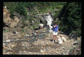
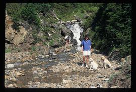
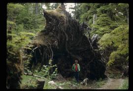
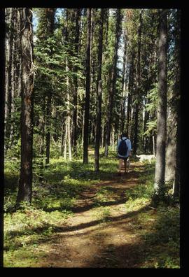
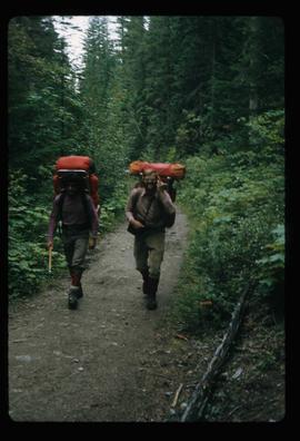
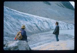
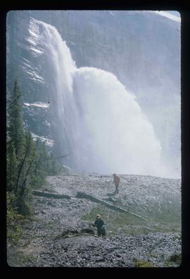
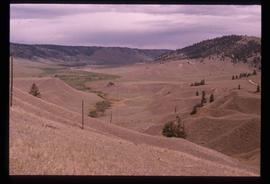
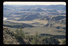
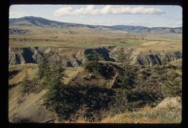
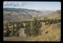
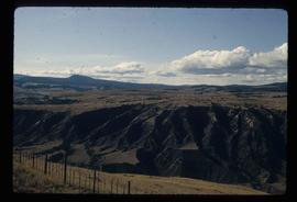
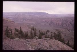
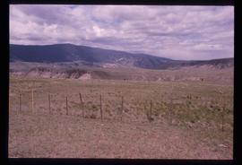
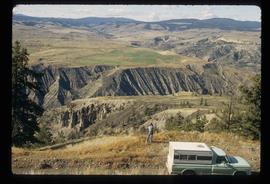
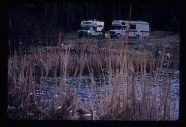
Image depicts two campers at an uncertain location, possibly somewhere near Meldrum Creek, B.C.
Image depicts two dogs and a person walking on a path through the woods somewhere in Carp Lake Provincial Park.
Image depicts two men on the hiking trail near Mt. Robson.
Image depicts two unknown individuals standing by a glacier somewhere in Mt. Robson Provincial Park.
Image depicts two unidentified individuals speaking to each other in the doorway of what appears to be a mobile home. The location is uncertain.
Image depicts two unknown individuals standing near a waterfall somewhere near Mt. Robson.
Image depicts mountains in the background and two unidentified individuals standing on a dirt road in the bottom left corner. The location is uncertain, likely Longworth, B.C.
Image depicts two individuals and three dogs standing by a stream at an uncertain location, possibly somewhere in Bear Glacier Provincial Park. The woman in purple is possibly Sue Sedgwick.
Image depicts two individuals and two dogs standing by a stream at an uncertain location, possibly somewhere in Bear Glacier Provincial Park. The woman in purple is possibly Sue Sedgwick.
Image depicts two small sheds at an uncertain location. The slide labels them as "Giscome bldgs in Blackburn."
Image depicts two trucks on a road at an uncertain location.
Image depicts the hiking group packing their gear into two vans.
Image depicts a two-room schoolhouse in Penny, B.C.
Image depicts four individuals sitting on a log, possibly somewhere near the Hansard Bridge, B.C. The individuals are UNBC faculty members Gail Fondahl, Tracey Summerville, Greg Halseth and an unidentified individual. The slide is labelled: "Hansard Bridge UNBC." Map coordinates 54°04'37.7"N 121°50'39.9"W
Image depicts a house in Upper Fraser with the residential area in the background. Map coordinates 54°07'02.8"N 121°56'37.5"W
Image depicts a view of the Upper Fraser Canyon.
Image depicts a view of the upper Fraser Canyon.
Image depicts a view of the Upper Fraser Canyon.
Image depicts a view of the upper Fraser Canyon. The Fraser River is visible on the left side of the image.
Image depicts a view of the upper Fraser Canyon.
Image depicts the Upper Fraser Canyon.
Image depicts a view of the eastern part of the upper Fraser Canyon.
Image depicts the Fraser River passing through the upper Fraser Canyon.
Image depicts a view of the Upper Fraser Canyon. The Fraser River is visible.
Image depicts the Fraser River running through the Upper Fraser Canyon.
Image depicts a view of some of the scenery near the Upper Fraser Canyon.
Image depicts an unknown woman on a road in the upper Fraser Canyon.
Image depicts Upper Fraser Elementary School, after closure of town site. Map coordinates 54°06'54.4"N 121°56'16.6"W
Image depicts the Upper Fraser General Store in Upper Fraser, B.C. Two other signs indicate that it is also a post office and a place that offers propane refills. Map coordinates 54°07'10.8"N 121°56'51.7"W
Image depicts several houses, likely in Upper Fraser, B.C.
Image depicts entrance to mill yard for Upper Fraser mill in Upper Fraser, B.C. Map coordinates 54°07'10.8"N 121°56'51.7"W
Image depicts Upper Fraser mill yard with log deck and beehive burner in silhouette across railroad tracks. Located in Upper Fraser, B.C. Map coordinates 54°07'01.5"N 121°56'29.6"W
Image depicts numerous log decks at the Upper Fraser sawmill. Map coordinates 54°07'10.8"N 121°56'51.7"W
Image depicts the entrance to the Upper Fraser mill yard in Upper Fraser, B.C. Map coordinates 54°07'10.8"N 121°56'51.7"W
Image depicts the Upper Fraser mill yard with a CN train in Upper Fraser, B.C. Map coordinates 54°07'10.8"N 121°56'51.7"W
Image depicts the entrance to the Upper Fraser mill yard in Upper Fraser, B.C. Map coordinates 54°07'10.8"N 121°56'51.7"W
Image depicts the Upper Fraser Road running through Upper Fraser, B.C. A newer style round burner is seen in the background. Map coordinates 54°07'05.7"N 121°56'38.9"W
Image depicts Upper Fraser town site playground, after closure of town site. Map coordinates 54°07'01.4"N 121°56'29.9"W
Image depicts an older building with numerous vehicles parked out front in Upper Fraser, B.C. Map coordinates 54°07'03.5"N 121°56'34.4"W
Image depicts houses in the Upper Fraser residential area during demolition of town site. Map coordinates 54°06'51.6"N 121°56'26.3"W
Image depicts the Upper Fraser Road running through Upper Fraser, B.C. A beehive burner is seen in the background on the left and the mill office is seen on the right. Map coordinates 54°07'05.7"N 121°56'38.9"W
Image depicts several unidentified individuals walking along the snow-covered Upper Fraser Road with numerous buildings on either side. Map coordinates 54°07'05.7"N 121°56'38.9"W
Image depicts the sewage treatment plant in Upper Fraser, B.C. after the closure of the town site. Map coordinates 54°06'51.6"N 121°56'10.2"W
Image depicts an individual standing next to what appears to be the base of a very large, uprooted tree, located somewhere in the coastal forest of Haida Gwaii, B.C.