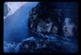
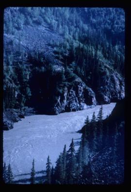
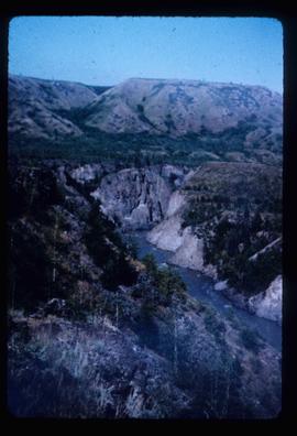
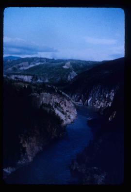
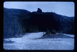
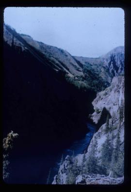
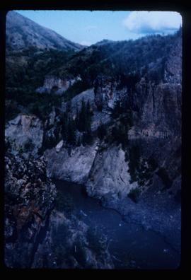
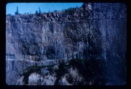
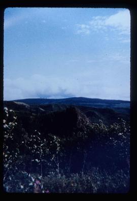
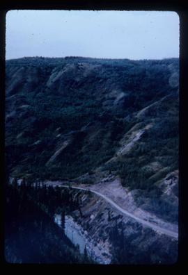
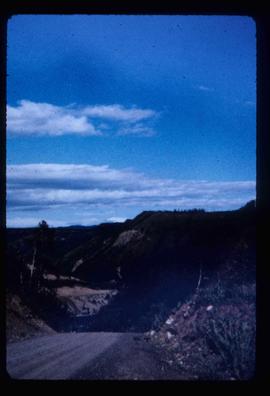
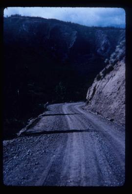
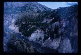
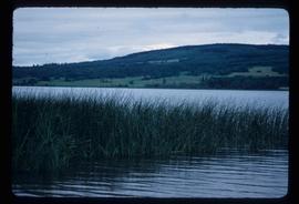
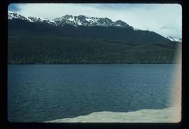
Image depicts Takla Lake west of Leo Creek.
Image depicts the government houses located at the Takla Landing.
Image depicts a tall pine tree somewhere on Haida Gwaii.
Item is an original 1969 map depicting Taseko Lakes in British Columbia, published by the Department of Energy, Mines and Resources in Ottawa Canada.
Item is an original 1979 map depicting Taseko Lakes in British Columbia, published by the Province of British Columbia Ministry of Environment.
Image depicts a man, possibly Ted Faulkner, looking at a creek.
Image depicts what appears to be a teepee at an uncertain location.
Image depicts the Telegraph Creek.
Image depicts a bridge over Telegraph Creek.
Image depicts a cliff face near Telegraph Creek.
Image depicts the Telegraph Creek.
File contains slides depicting Telegraph Creek.
Image depicts the Telegraph Creek Road, as well as the Creek itself.
Image depicts Telegraph Creek Road.
Image depicts Telegraph Road, south-west of Vanderhoof, B.C.
Image depicts a field along Telegraph Road, south-west of Vanderhoof, B.C.
Image depicts the old telegraph station in Stewart, B.C.
Image depicts the Telkwa river in Telkwa, B.C.
Image depicts two bridges in Telkwa, B.C. One is for trains.
Image depicts a view of a lake that is near Telkwa, B.C. The slide is labelled as "Telkwa - McClure Lake," though it is possibly Tyhee Lake.
Image depicts several orange and blue tents, possibly somewhere near Riske Creek, B.C.
Image depicts a view of Terrace, B.C.
Image depicts a rail road bridge located somewhere near Terrace, B.C.
Image depicts the Terzaghi Dam viewed from the downstream side near Bralorne B.C.
Image depicts the Terzaghi Dam on the Bridge River, looking from the upstream (reservoir) side located near Bralorne, B.C. The water is Carpenter Lake.
File consists of notes, clippings, and reproductions relating to Tete Jaune.
Image depicts a collapsing shack somewhere near Tête Jaune Cache, B.C.
Image depicts a forest service cabin somewhere near Tête Jaune Cache, B.C.
Image depicts a vehicle on a gravel road somewhere near Tête Jaune Cache, B.C.
Image depicts the Bullion Pit in Likely, B.C. It is a man-made canyon from the days of the gold-rush, formed by the use of hydraulic monitors. The gold-mine operated from 1892 to 1942.
Image depicts the Caribou Hotel and the Matthew Watson General Store in Carcross, Y.T.
Image depicts a section of Isaac Lake which is apparently known as the "chute."
File consists of notes and reproductions relating to Prince Arthur the Duke of Connaught, the third son of Queen Victoria who took the place of Governor General in Canada in 1911. Connaught Hill in Prince George was named in rememberance after Prince Arthur. File predominantly consists of printed websites and newspaper articles describing Prince Arthur, the Duke of Connaught, and his role as Governor General.
File consists of a pamphlet titled "The Fort Fraser-Fort George Bulletin Area" prepared by the Department of Lands, Forests, and Water Resources from the Province of British Columbia.
File consists of a typescript essay titled "The Impact of Swiss settlement in the Bulkley Valley" by Allen Curley for a GEOG 205 class.