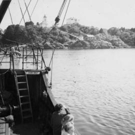
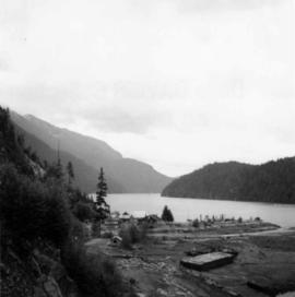
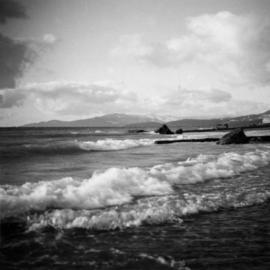
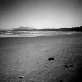
Photograph depicts Wickaninnish Beach, north of Ucluelet on Vancouver Island.
Photograph depicts a view from the ship the Queen of Powell River, en route from Earl Cove to Saltery Bay.
Photograph depicts the view looking north from Diamond Head Lodge in Garibaldi Park, about 20 miles northeast of Squamish. Believed to be "Bookworm range" at 7910 ft.
Photograph depicts a the shoreline of Vancouver Harbour, looking east from the property line of the Burrard Grain Elevator, 375 Low Level Rd, North Vancouver.
Photograph depicts a view looking northwest at Osoyoos Lake, B.C.
Photograph depicts a view near Nootka, looking north towards Bligh Island. Photo taken from the M.V. Uchuck III.
Photograph depicts a view of Friendly Cove, near Nootka, on the west coast of Vancouver Island. View is taken from the M.V. Uchuck III.
Photograph depicts land clearance between Monashee Pass and Lumby, B.C.
Photograph depicts a view of Indian Arm, looking south from Granite Falls.
Photograph depicts Granite Falls near the Wigwam Inn, Indian Arm, Vancouver, B.C.
Photograph depicts Granite Falls and wharf at Indian Arm, looking west from the top of the falls.
Photograph depicts fields recently cleared from virgin bush on Miracle Breach on Vancouver Island.
Photograph depicts the entrance to the Squamish River at Squamish, looking upstream. The pier on the left belongs to the original logging railway, circa 1909-1925.
Photograph depicts Beach Ave. in Vancouver, with the photo taken near the swimming pool and looking west. Photo was taken after a storm.