2000.1.1.3.19.151
·
Stuk
·
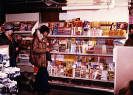
[ca. 1980]
Part of Cassiar Asbestos Corporation Ltd. fonds
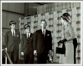
Photograph depicts three unidentified individuals browsing magazine section of store.