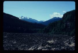
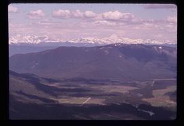
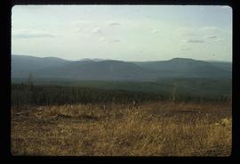
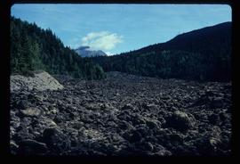
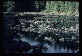
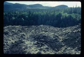
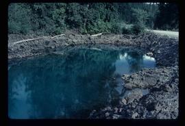
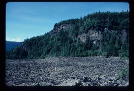
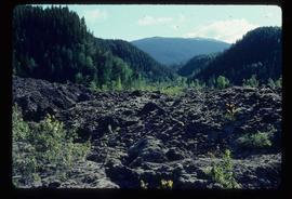
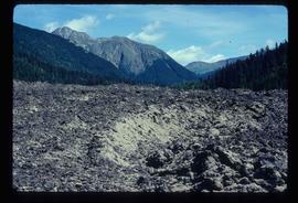
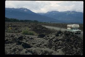
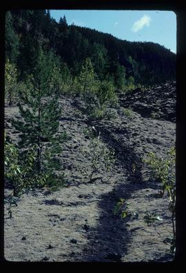
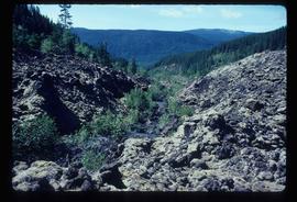
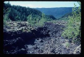
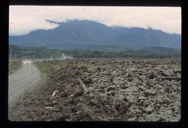
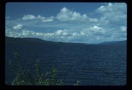
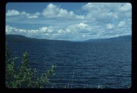
Image depicts a view of Tumuch Lake Valley, south-east of Raven Peak.
Image depicts a view of the scenery in Tumbler Ridge, B.C.
Image depicts two unknown individuals at the Tsilcoh Falls, north of Fort St. James and somewhere near Pinchi Lake Road.
Image depicts the Tsilcoh Falls, north of Fort St. James and somewhere near Pinchi Lake Road.
Image depicts the Tseax River.
Image depicts the Tseax Lava Flow, looking up valley.
Image depicts a stream running through the Tseax lava flow.
Image depicts a sign at the Tseax Lava Flow asking people to not remove lava from the site.
Image depicts a shallow river running over and through the Tseax lava flow.
Image depicts the Tseax Lava Flow. The slide is labelled "pressure ridges."
Image depicts what appears to be a small pond near the Tseax lava flow.
Image depicts old lava cliffs and the Tseax Lava Flow in Nisga'a Provincial Park, near New Aiyansh, B.C.
Image depicts the Tseax Lava Flow, with mountains in the distance.
Image depicts Kent Sedgwick standing in a drainage tunnel of the Tseax Lava Flow.
Image depicts an unknown individual standing on the Tseax Lava Flow.
Image depicts the Tseax Lava Flow.
Image depicts truncated spurs somewhere near McBride, B.C.
Image depicts numerous skiers at the cabin located at Troll Lake on Tabor Mountain in Prince George, B.C.
Image depicts a snow-covered cabin and a mountain in the distance. It is located somewhere near Birken, B.C.
Image depicts a mountain in the distance. It is located somewhere near Birken, B.C.
Image depicts a west-looking view of Trembleur Lake.
Image depicts two old houses surrounded by numerous trees at an uncertain location.
Image depicts a green car among some trees on Cottonwood Island.
Image depicts numerous trees in an uncertain location; the slide itself is labelled "T.T. Cutting," possibly meaning "Telegraph Trail Cutting."
Image depicts a train carrying logs somewhere in Prince George, B.c.
Image depicts a train and several unidentified individuals who appear to be waiting for it as it passes through Sinclair Mills, BC.
Image depicts a train on the Hansard Bridge across the Fraser River looking west. Map coordinates 54°04'37.7"N 121°50'39.9"W
Image depicts the side of a train and the tracks it is on, somewhere in the Seton Portage area.
Image depicts a train in an uncertain location, though it is possibly Howe Sound in the background.
Image depicts Upper Fraser residential area during demolition of town site. Map coordinates 54°06'51.6"N 121°56'26.3"W
Image depicts a patch of snow-covered ground with a sign that reads "Trail of 98," somewhere along the White Pass railway.
Image depicts a tractor with a claw lifting logs at a saw mill in Prince George, B.C.
Image depicts a view of the scenery at an uncertain location with numerous individuals, possibly tourists, present. It is possibly somewhere near the Fraser River.
Image depicts a view of the landscape at an unknown location with a group of people, possibly tourists, present. It is possibly near the Fraser River.