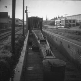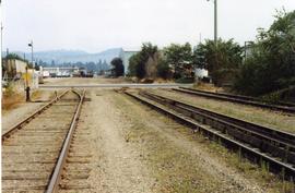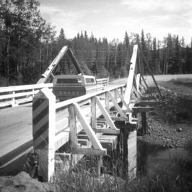
2013.6.36.1.048.06
·
Item
·
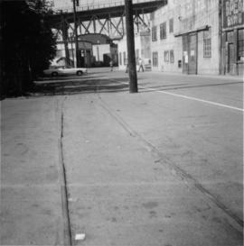
26 Sept. 1974
Part of David Davies Railway Collection
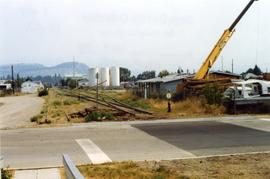
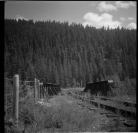
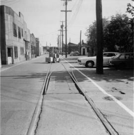
Photograph taken on Cartwright Street, looking eastward. Track to the right is unusable because the switch towards the right is blocked over.