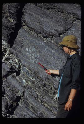
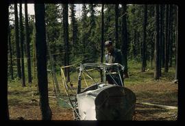
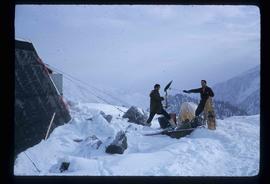
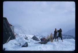
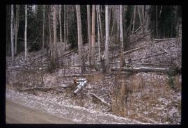
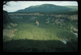
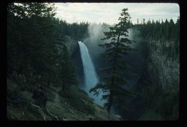
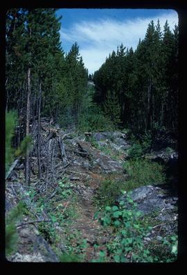
Image depicts the boundary line between British Columbia and Alberta at the Yellowhead Pass.
Image depicts a view of what is possibly the Yellowhead Pass on the British Columbia-Alberta border, west of Jasper A.B.
Image depicts Yellowhead Lake, located near the Yellowhead Pass.
Image depicts the Yellowhead Bridge across the Fraser River. Map coordinates 53°54'45.2"N 122°43'27.9"W
Image depicts the Fraser River and the Yellowhead and Grand Trunk Railway Bridges from LC Gunn Park. Map coordinates 53°54'30.7"N 122°43'27.0"W
Image depicts a field of yellow plants at an uncertain location.
Image depicts an unknown individual pointing at some writing on a rock; it possibly reads "ACC Aug 10 1911."
Image depicts Kent Sedgwick standing beside a wrecked plane somewhere in South Tweedsmuir Provincial Park.
Image depicts a helicopter flying over the Woolsey Glacier.
Image depicts two unknown individuals at the Woolsey Glacier.
Image depicts a tree line in Woodpecker, B.C.
Image depicts the grade for the British Columbia Railway, which was formerly known as the Pacific Great Eastern until 1972. It is located somewhere near the Woodpecker Ranch in Woodpecker, B.C.
Image depicts the grade for the British Columbia Railway, which was formerly known as the Pacific Great Eastern until 1972. It is located somewhere near the Woodpecker Ranch in Woodpecker, B.C. There are two unknown individuals present in the image.
Image depicts two snow sculptures near a wooden bridge on an ice rink, possibly during the Winter City Conference, in Prince George, B.C. Taken at the Prince George Civic Center. Map coordinates 53°54'45.6"N 122°44'59.6"W
Image depicts an unknown woman with a camera. Nearby are the skeletal remains of an unknown animal. The location is the upper Fraser Canyon.
Image depicts an unidentified woman with a camera sitting on the bank of a river.
Image depicts a woman standing on a rocky shore somewhere on Haida Gwaii, B.C.
Image depicts a woman on a boat, possibly on War Lake.
Image depicts the old community hall located somewhere in the Wistaria Provincial Park.
Image depicts a river, possibly somewhere in the Wistaria Provincial Park.
Image depicts the Willow River General Store. Map coordinates 54°04'23.7"N 122°28'26.9"W
Image depicts a group of people somewhere in Willow River, B.C. The man in the plaid shirt and beige cap is identified on the slide as being Lloyd Edwards.
Image depicts the cableway in Willow River, B.C.
Image depicts the cableway, stretching over a river, in Willow River, B.C.
Image depicts the cableway in Willow River, B.C.
Image depicts the St. Joseph's Mission in Williams Lake, B.C.
Image depicts an aerial view of Williams Lake, B.C.
Image depicts the White Pass Train crossing over a railway bridge at an uncertain location.
Image depicts the White Pass Train crossing over a railway bridge at an uncertain location in the mountains.
Image depicts the White Pass Train crossing over a railway bridge at an uncertain location.
Image depicts a mountain side somewhere along the White Pass railway. The thin ridge along the mountain side is possibly either a highway or part of the railway.
Image depicts a grave somewhere along the White Pass railway.
Image depicts woods located west of Leo Creek, with mountains in the distance.
Photograph depicts the old hospital building in Wells. At the time the photo was taken, 1978, it was being used as an apartment building, and that is still its current use.
Image depicts the drainage area for the Helmcken Falls in Wells Gray Provincial Park.
Image depicts the Helmcken Falls in Wells Gray Provincial Park.
Image depicts Wells, B.C.
Image depicts the Watson Mansion at Mile 108 of Highway 97. It was built by Captain Geoffrey Watson in 1904, and was burned down by a chimney fire in 1983.
Image depicts a waterfall with a mountain peak in the background; it is most likely Mt. Robson.