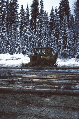
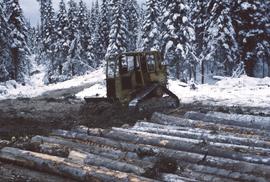
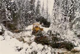
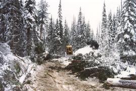
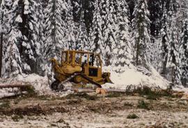
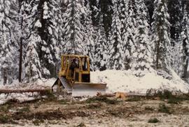
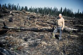
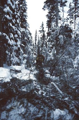
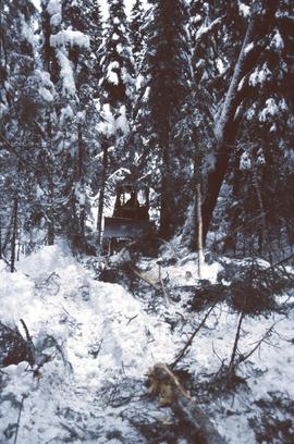
Annotation on slide: "Heavy Residual Basal Area: Summit Lake".
Slide depicts a man operating heavy equipment in a forest, likely at the Aleza Lake Experiment Station.
Annotation on slide: "Harry Coates with Sw seedlings planted spring of 1991, SBSwk1, Note chlorotic seedlings"
Slide depicts a heavily forested area with fallen logs, likely at the Aleza Lake Experiment Station.
Original forest cover map shows timber history in the area of Giscome, BC.
Annotation on slide: "Summit defective cull, Marked-to-cut swept log, Summit Lake selection trial".
Annotation on slide: "Decay in subalpine fire scarred by 1955 stand entry (logged w 91/92), Summit Lake Trial".
Annotation on photograph verso: "D6 grapple skidder used for road development only. 27/12/91. Summit Lake Selection Trial"
Annotation on slide: "Summit Lake, D4H skidding logs".
Annotation on slide: "Summit Lake, D4H on narrow skid road".
Annotation on slide: "Summit Lake D4H on skid road"
Annotation on slide: "Summit Lake D4H highdrive"
Annotation on slide: "Summit Lake D4H highdrive skidder"
Annotation on slide: "Summit Lake D4H highdrive"
Annotation on photograph verso: "D-4 tracked skidder at Start of B Road. 15/1/92. Summit Lake Selection Trial"
Annotation on photograph verso: D-4 tracked skidder at "Start of B Road. 15/1/92. Summit Lake Selection Trial"
Annotation on photograph verso: "D-4 tracked skidder. 15/1/92. Summit Lake Selection Trial"
Slide depicts a detonation in an area of cleared ground in a forested area, likely the Aleza Lake Experiment Station. Work may have been undertaken for roadbuilding activities at the Experiment Station.
Slide depicts a cleared area in a forest, likely at the Aleza Lake Experiment Station.
Slide depicts a cleared area at the Aleza Lake Experiment Station with plant regeneration.
Slide depicts a bulldozer clearing ground, likely at the Aleza Lake Experiment Station.
Slide depicts a black bear eating garbage by wooden outbuildings, possibly at the Aleza Lake Experiment Station.
Annotation on photograph verso: "Summit Lake Trial EP 1162, Winter 1991/1992"
Reproduced map on mylar depicts the Aleza Lake timber reserve near Aleza Lake, BC.
Item is a forest cover map for Aleza Lake Research Forest (Special Use Permit 19070). Shows experimental plots and timber sale areas.
Item is a hand-drawn map of a plot in the Aleza Lake Research Forest. Individual trees are marked and numbered.
Mylar map is a plot map of a research plot at the Aleza Lake Research Forest. Provides date the plot was established, the harvest history, the silviculture history, remeasurement history, and information about individual trees.
Item is a hand-drawn map of a plot in the Aleza Lake Research Forest. Individual trees are marked and numbered.