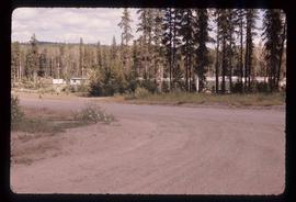
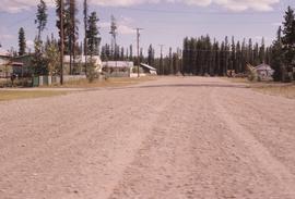
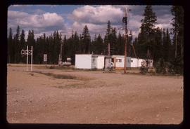
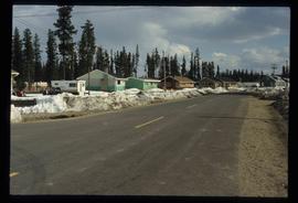
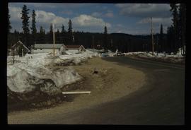
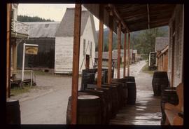
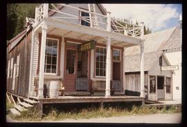
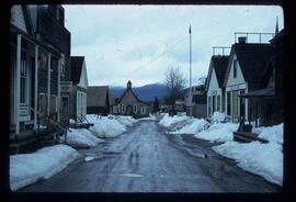
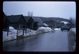
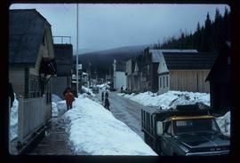
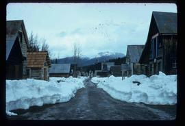
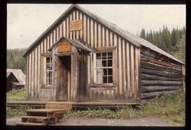
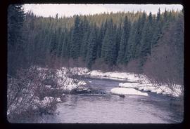
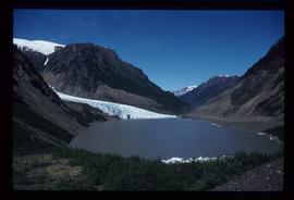
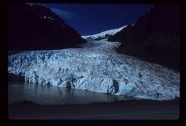
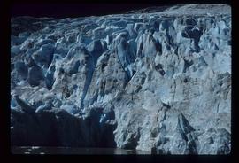
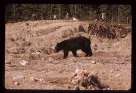
Image depicts the Bear River.
Image depicts what is possibly Bear River in the Bear Glacier Provincial Park.
Image depicts a view of Bear Pass, likely from Glacier Highway and somewhere in or near Bear Glacier Provincial Park, located north-east of Stewart, B.C.
Image depicts some houses in Bear Lake, B.C.
Image depicts the curling club and skating rink buildings in Bear Lake, B.C.
Image depicts the Crooked River in the Crooked River Pronvicial Park near Bear Lake, B.C.
Image depicts a shack, possibly near Bear Lake, B.C.
Image depicts a river, possibly near Bear Lake, B.C.
Image depicts some buildings along a dirt road, possibly near Bear Lake, B.C.
Image depicts a stand of trees in Bear Lake, B.C.
Image depicts some houses in Bear Lake, B.C.
Image depicts some trailers in Bear Lake, B.C.
Image depicts some houses in Bear Lake, B.C.
Image depicts some houses most likely in Bear Lake, B.C.
Image depicts a dog on a road, and a view of the mountains in Bear Glacier Provincial Park.
Image depicts the Bear Glacier stretching through a mountain range.
Image depicts Sue Sedgwick with a dog, standing with the Bear Glacier in the background.
Image depicts Sue and Kent Sedgwick with two dogs, standing with the Bear Glacier in the background.
Image depicts a small section of the Bear Glacier.
Image depicts a close-up of a cave-like opening in the Bear Glacier.
Image depicts the Bear Glacier in Bear Glacier Provincial Park, as well as what is possibly Strohn Lake.
Image depicts the Bear Glacier in Bear Glacier Provincial Park.
Image depicts a close-up of the Bear Glacier in Bear Glacier Provincial Park.
Image depicts Bear Glacier in the foreground and a mountain in the background, somewhere in Bear Glacier Provincial Park.
Image depicts the Bear Glacier with a cave-like opening.
Image depicts Bear Glacier in the foreground and numerous mountain peaks in the background in Bear Glacier Provincial Park.
Image depicts a bear located at the Bear Lake Dump.
Image depicts the BCR tracks passing through a mill somewhere near the 100 Mile.
Image depicts the BC Liquor Store in Prince George, B.C.
Image depicts a Bavarian style house at College Heights in Prince George, B.C.
Image depicts the Battle Hill National Historic Site in Kitwanga, B.C.. The sign located there says: "The small knoll in the valley was a native fortress. Legends maintain that it was man-made: built to repel marauding coastal tribes. The hill was the scene of local tribal battles, and at one time was crowned with the defenders' buildings. Known as Dhawdezp, the unique mound is a prominent feature in the legends and history of the Indian people."
Image depicts a basalt landform somewhere in or near Quesnel, B.C.
Image depicts a section of river located somewhere near Barriere, B.C.
Image depicts an old barn and a collapsing cabin somewhere in the Fort George Canyon Provincial Park, B.C.
Image depicts an old barn somewhere in the Fort George Canyon Provincial Park, B.C.
Image depicts a souvenir and gift shop for both Barkerville and Wells, B.C.
Image depicts the interior of the Wake Up Jake Saloon in Barkerville, B.C.
Image depicts the Wake Up Jake Saloon in Barkerville, as well as several other buildings.
Image depicts the Barkerville theatre from the porch of the Hudson's Bay Company.
Image depicts the House Hotel in Barkerville, B.C.
Image depicts a street in Barkerville, B.C.
Image depicts a Sporting House in Barkerville.