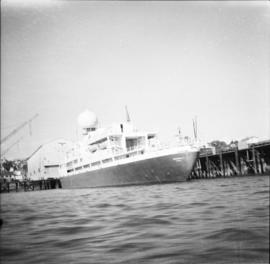
2013.6.36.1.062.01
·
Item
·
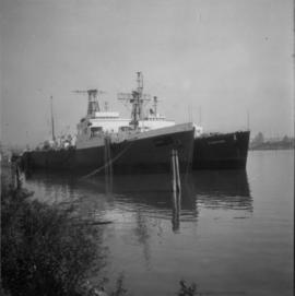
1966
Part of David Davies Railway Collection
Photograph depicts a weather ship of the Canadian Coastguard called "Vancouver." It was fitting out after launching. This vessel and its sister ship, "Quada," were the largest vessels ever built on the western coast of Canada. "Vancouver" was retired in May 1981 as it was too costly to service.