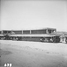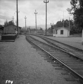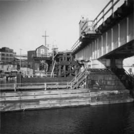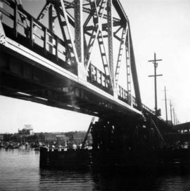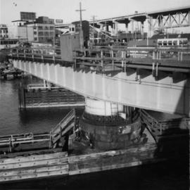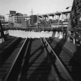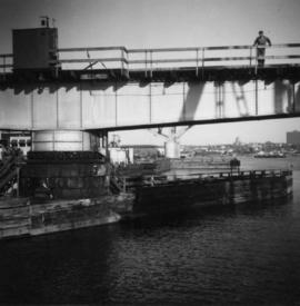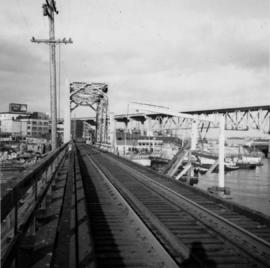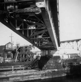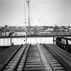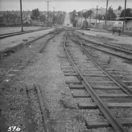
2013.6.36.1.011.14
·
Item
·
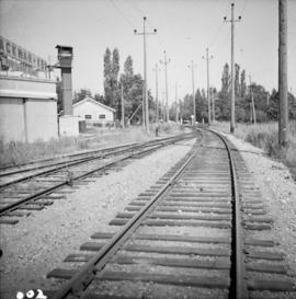
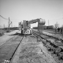
Apr. 1966
Part of David Davies Railway Collection
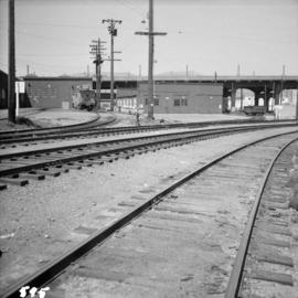
Photograph depicts ballasting re-laid new track at the Pacific Great Eastern yards in North Vancouver, beside the Vancouver Wharves Ltd.