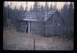
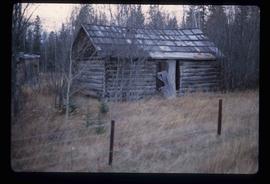
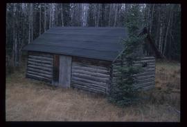
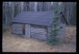
Woodpecker, BC

Elements area

Taxonomy

Code

Scope note(s)

    Source note(s)

      Display note(s)

        Hierarchical terms

        Woodpecker, BC

          Equivalent terms

          Woodpecker, BC

            Associated terms

            Woodpecker, BC

              67 Archival description results for Woodpecker, BC

              67 results directly related Exclude narrower terms
              Back Road
              2012.13.1.41.11 · Item · 2002
              Part of J. Kent Sedgwick fonds

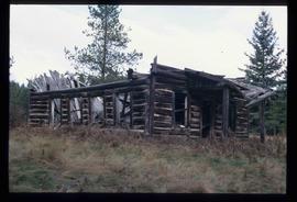
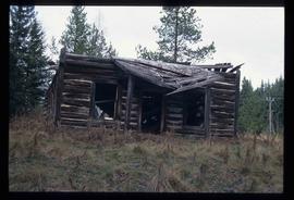
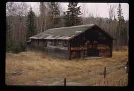
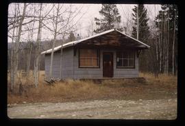
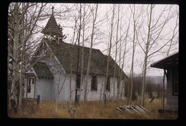
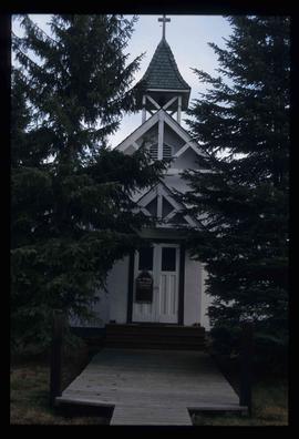
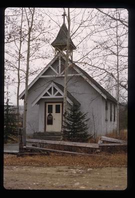
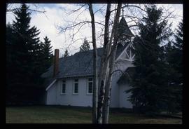
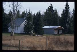
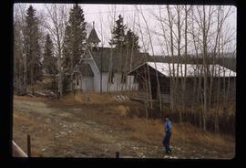
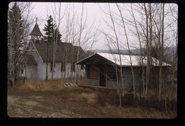
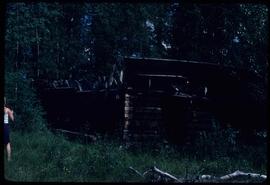
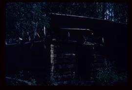
              Image depicts a back road at an uncertain location, possibly near Iron Road North, north of Woodpecker, B.C.

              Creek
              2012.13.1.41.10 · Item · 2002
              Part of J. Kent Sedgwick fonds

              Image depicts a creek near Iron Road North, north of Woodpecker, B.C.

              Creek
              2012.13.1.41.09 · Item · 2002
              Part of J. Kent Sedgwick fonds

              Image depicts a creek near Iron Road North, north of Woodpecker, B.C.

              Farm
              2012.13.1.20.23 · Item · [2002 or 2003]
              Part of J. Kent Sedgwick fonds

              Image depicts a farm likely in Woodpecker, B.C.

              Farm
              2012.13.1.20.24 · Item · [2002 or 2003]
              Part of J. Kent Sedgwick fonds

              Image depicts a farm likely in Woodpecker, B.C.

              Forest
              2012.13.1.41.15 · Item · 2002
              Part of J. Kent Sedgwick fonds

              Image depicts a forest, possibly somewhere near Woodpecker, B.C.

              Forest
              2012.13.1.41.18 · Item · 2002
              Part of J. Kent Sedgwick fonds

              Image depicts a forest, possibly somewhere near Woodpecker, B.C.

              Grade?
              2012.13.1.41.05 · Item · 2002
              Part of J. Kent Sedgwick fonds

              Image depicts a clearing through the woods, possibly an abandoned grade for the BCR. It is possibly located on Iron Road South, near Woodpecker B.C.

              Grade?
              2012.13.1.41.07 · Item · 2002
              Part of J. Kent Sedgwick fonds

              Image depicts a clearing through the woods, possibly an abandoned grade for the BCR. It is possibly located on Iron Road South, near Woodpecker B.C.

              Iron Road North
              2012.13.1.41.08 · Item · 2002
              Part of J. Kent Sedgwick fonds

              Image depicts Iron Road North, and a creek surrounded by trees. Located north of Woodpecker, B.C.

              Knox United
              2012.13.1.6.228 · Item · Aug. 1982
              Part of J. Kent Sedgwick fonds

              Image depicts a Knox United Church at an uncertain location, though possibly in either Hixon or Woodpecker, B.C.

              PGE Grade
              2012.13.1.041 · Subseries · [between 1980 and 2003]
              Part of J. Kent Sedgwick fonds

              File contains slides depicting the grade for what was formerly the Pacific Great Eastern, and is now known as British Columbia Railway.

              PGE Grade - View South
              2012.13.1.41.03 · Item · 2001
              Part of J. Kent Sedgwick fonds

              Image depicts a view of the south direction of the grade for the British Columbia Railway, which was formerly known as the Pacific Great Eastern until 1972. It is at an uncertain location, possibly near Woodpecker or Prince George.

              Shack - Seed Plant?
              2012.13.1.20.12 · Item · 1980
              Part of J. Kent Sedgwick fonds

              Image depicts a shack in Woodpecker, B.C. The previous slide of the same building is labelled "seed plant" for unknown reasons.

              View South - Trees
              2012.13.1.41.23 · Item · 2002
              Part of J. Kent Sedgwick fonds

              Image depicts a view south, possibly of an abandoned grade for the BCR; possibly somewhere near Woodpecker, B.C.