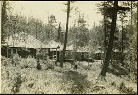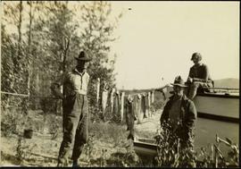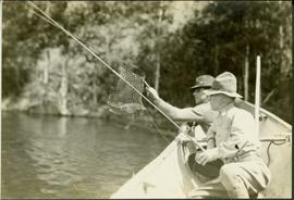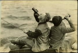
2020.05.30
·
Item
·
[Sept. or Oct. 1936]
Part of Gordon Wyness Album
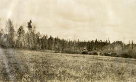
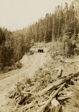
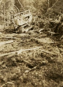
Photograph depicts a bulldozer clearing land for road making north of Stuart Lake.