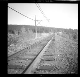
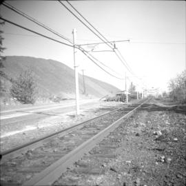
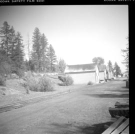
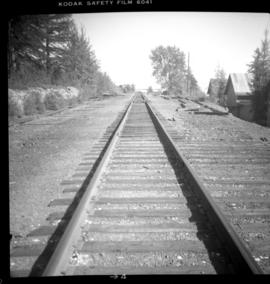
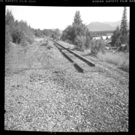
Photograph depicts 40 miles of trackage, of which 90% was located underground. It was owned by the Cominco Mine Railway of the private Sullivan Mine. The surface main line ran from the portal of the mine to a concentrator.
Kimberley, BC
6 Archival description results for Kimberley, BC
Photograph depicts the surface main line of the Cominco Mine Railway of the private Sullivan Mine. The line ran from the mine's portal to a concentrator. Visible locomotives dated from 1923 to 1952.
Photograph depicts stationed gauge trackage that was owned privately and laid near a concentrator that connected the CPR Kimberley branch. Visible are various spurs to wharehouses and sheds.
Photograph depicts the Cominco Mine Railway and the private Sullivan Mine. This section was near a concentrator as well as Chapman Camp. Davies suggested that it could a stationed gauge connector between the CPR Kimberley branch line and the concentrator that was used for incoming supplies and machinery.
Photograph depicts the end of the branch line in Kimberley which is about 3/4 of a mile below the old depot which used to be at Mile 16.3 from the north star June. Maximimum speed on the branch is 20 miles per hour abd 10 miles per hour between mile 3.9 and 7.9.
File consists of records created and accumulated by Gary Runka over the course of his consultancy work for Cominco Ltd. for the "Land Capability for Agriculture - Land Reserve Applications" project in Kimberley. This file was numbered as G.G. Runka Land Sense Ltd. client file #449; that client number may be seen referenced elsewhere in the G. Gary Runka fonds. The Land Sense Ltd. client files generally include records such as correspondence, contracts, invoices, project reports, publications, ephemera, memoranda, maps or map excerpts, legal documents, meeting materials, clippings, and handwritten notes.
Maps include:
- McElhanney, "Marysville 1:10,000 Approx." oversize photomap original col. print, n.d.
- Cominco Sullivan Mine, "Kimberley Area" sheet 124, July 1978.
- Cominco Sullivan Mine, "Kimberley Area" sheet 125, July 1978.
- Cominco Sullivan Mine, "Kimberley Area" sheet 114, July 1978.
- Cominco Sullivan Mine, "Kimberley Area" sheet 115, Sept. 1976.
- T. Rollerson, "Land Capability for Agriculture" annotated on 82G/12 Cranbrook base NTS map, 1976.
